Snowflowxxl
Member
I'm starting to doubt this thing reaches hurricane status
I'm starting to doubt this thing reaches hurricane status

Center is a mess so far
Aren't weaker storms with no real circulation, (remnants?), supposed to be heavier when we talk about rainfall amounts? They just kinda meander slowly?
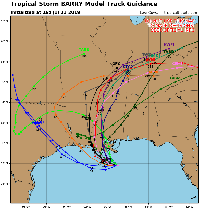
 euro has meanwhile settled on the east side
What a headacheMeanwhile the gfs ensembles shifted west
What's it down to ?pressure is dropping now per recon will it last?
The last pass showed the pressure going to 999 mb.What's it down to ?
The last pass showed the pressure going to 999 mb.