• Hello, please take a minute to check out our awesome content, contributed by the wonderful members of our community. We hope you'll add your own thoughts and opinions by making a free account!

Pattern March Thread

37 even this morning and 80.6 this afternoon. That might be one of the larger spreads I’ve seen in a while.
80.4 I like the old frontal boundary, and the cold air moving in, around the 13th. I don't give up on white outs and 0 temps with gulf lows until after the 13th, lol. It could happen again, it really could...things repeat in nature, they do, they really do :)
 
41/24 this morning feels cold.

Rdu is +10 through the first 3 days of the month after today averages near normal will likely be around +7. Warm Saturday through Monday will mean RDU is near +10 for the first week of March which may guarantee the month to be AN
 
Last edited:
The ole Spring cool down that happens every year just in time to mess up severe weather season. Usually start getting that -NAO showing up that we wanted all Winter right about this time.
 
The ole Spring cool down that happens every year just in time to mess up severe weather season. Usually start getting that -NAO showing up that we wanted all Winter right about this time.
If the pv retracts poleward and we go quasi zonal with a slight SER tendency post 3/15 severe weather printer go brrrrr
 
If the pv retracts poleward and we go quasi zonal with a slight SER tendency post 3/15 severe weather printer go brrrrr
That’s basically the EPS, don’t wanna be like a known poster but it’s similar to 2011 around day 12-15
 
  • Like
Reactions: SD
That’s basically the EPS, don’t wanna be like a known poster but it’s similar to 2011 around day 12-15
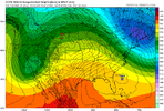
Just looking at the eps and this caught my eyeecmwf-ensemble-avg-conus-mslp_anom-7475200.png

Makes sense as the strong cold high pressure kicks offshore and we go into quick warm up/moisture return. I'm not sure about 2011 but certainly attention catching with the weaker trough and likely less forcing but it's so far away and the 6z gfs rolled it into a cutoff
 
Just looking at the eps and this caught my eyeView attachment 114742

Makes sense as the strong cold high pressure kicks offshore and we go into quick warm up/moisture return. I'm not sure about 2011 but certainly attention catching with the weaker trough and likely less forcing but it's so far away and the 6z gfs rolled it into a cutoff
Gfs has a cut off bias in the long range me thinks. I seen way too many cutoffs never come about.
 
Just looking at the eps and this caught my eyeView attachment 114742

Makes sense as the strong cold high pressure kicks offshore and we go into quick warm up/moisture return. I'm not sure about 2011 but certainly attention catching with the weaker trough and likely less forcing but it's so far away and the 6z gfs rolled it into a cutoff
That tendency to lower highs connecting in the GOA to the TPV is what I mean really speeds up the flow and creates issues 740565BD-7EB6-45F6-92B6-4753A64C2880.gifCEB36FAD-07A2-445F-A45F-AF5DAB0D49F3.png31B2CE34-7ECD-42D9-A77F-730C3574E941.png
 
  • Like
Reactions: SD
The GEFS and EPS runs have been suggesting a shortlived (~4 days) cold period in the SE for 3/12-15 within an otherwise mild first half of March.
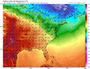
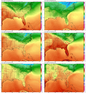
Here is the Arctic air as it approaches:

D7721C82-3996-436A-B4EA-D279F8D4BCDA.png6A7D5382-4AAE-401E-B7C4-BD683714D29E.png

Here is the peak of the cold a day later:

9E0FB56D-573D-4DF3-8A5D-5DFEC22538C8.png57C48EBF-F374-40B9-A880-8D2D93187650.png

Will this verify or will it be a fail like the predicted intense cold for 2/28-3/2?

The MJO has improved with all progs inside the circle vs earlier progs for warm phases outside the circle in phase 5-6. So, that at least shouldn’t be a negative factor for the shortlived cold. Also, the GEFS AO forecasts have come down markedly for that period and instead of the positive of 2/28-3/2 are favoring slight -AO for 3/12-15:

2D8487AD-3E89-419C-8E67-0B7206AF71FD.gif

However, a moderate +NAO is still being forecasted for 3/12-15, similar to 2/28-3/2:

4CB31A86-45AD-4CA7-85DB-6268D6AA3FCD.gif

And there’s a moderate to strong -PNA for the 3/12-15 per the GEFS, which will likely prevent a longlasting cold period in the SE assuming it actually gets cold:

A04EA4CD-46C6-4213-8295-93E9C1DD81E4.gif

So, it will be interesting to see if we can get that several day cold period ~3/12-15. If we can, this could very well be the last shot at a freeze, especially in places south of TN and NC.
 
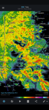
Looks like next week will have a few rounds of rain and storms with small severe weather chances for parts of the southeast.

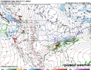
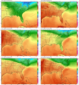
Just looking at the 12z Euro I count 3 separate systems on Monday, Wednesday, and Friday. Now that we are into March not anything unexpected, but certainly something to watch throughout the week.

Monday 3/7:

A961BDB0-4242-4DEA-8FB7-D7658986DD22.png8EE7EB38-E1EB-4539-A7C6-0D4E318F41F7.png

Wednesday 3/9:

7F83A218-2A41-41EF-9996-8A355999C307.png65B9BBFD-C29B-44BA-ADDB-0184E0555B7F.png
 
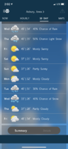
Meanwhile winter is not over here

Thursday Night
A chance of rain and snow. Mostly cloudy, with a low around 25. North wind 15 to 20 mph, with gusts as high as 25 mph. Chance of precipitation is 30%.
I feel ya! D6825F33-B588-4427-8C6F-4C208224065B.png8A4EE178-4CAB-476C-9133-27624801A4B6.png
 
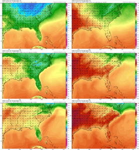
With the eastern ridge resisting more and trending stronger, moisture return is looking better and better 759EDEB8-CC3A-48EB-A0AC-057B6387A01D.pngreally don’t like what we’re dealing with here, very impressive signal for a anomalous trough which probably means some very impressive kinematics BBEB66E8-8017-4573-9F20-3FF1EAF7783F.pngFC222504-A26A-4758-BCCF-1BA0F57E9749.pngthe 00z euro already had a pretty solid setup, really interesting to see the 12z euro, might need a thread if the GFS makes one more shift like it did at 06z and we continue to get consistency for a day or 2 on the euro A95E8E2F-77F0-438D-8922-53F75B4B0038.png281CC88B-CCBB-4C6A-975E-70E14AE03ACC.pngC7C2C840-B45B-4B41-9988-264DC31F2B95.png
 
Back
Top