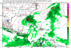
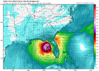
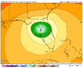
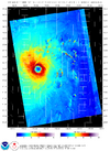
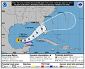
As stated above, classic RI look. I think it intensifies to high 920s/low 930s until it has an eyewall replacement cycle and plateaus a little before weakening.
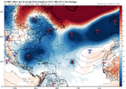
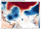
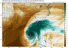
The forecasting conundrum will be how quickly it weakens. This is a hostile look for a storm:
View attachment 152733
It will be dry- a lot of board members will see real fall mornings this week. That airmass will surround Milton by the time it is approaching Florida. The mixture of shear and eye wall replacements will make dry air intrusions easy - Milton will be in decay by the time it approaches Tampa. When this decay starts probably determines whether this storm is just "bad" or "generationally bad" for Tampa.
But yes it will put on a show before that.

