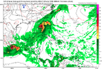
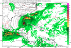
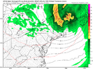
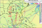
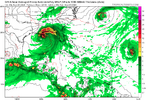
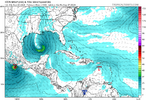
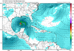
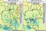
Have at it
-
Hello, please take a minute to check out our awesome content, contributed by the wonderful members of our community. We hope you'll add your own thoughts and opinions by making a free account!
You are using an out of date browser. It may not display this or other websites correctly.
You should upgrade or use an alternative browser.
You should upgrade or use an alternative browser.
Tropical Major Hurricane Helene
- Thread starter SD
- Start date
- Status
- Not open for further replies.
accu35
Member
Sloppy big ass cat 5 storm
NWMSGuy
Member
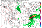
12Z EURO looks to have this sitting in the western gulf for hours up to hour 240.
lexxnchloe
Member
lexxnchloe
Member
Brent
Member
This is gonna be a huge mess and a long thread I predict
NWMSGuy
Member
Definitely will be interesting to follow this one.This is gonna be a huge mess and a long thread I predict
Henry2326
Member
Bad ass....not big ass. LolSloppy big ass cat 5 storm
Henry2326
Member
This is what happens when you have nothing to watch for 3 months, although you were told it was going to a barn burner of shows to watch.
Brent
Member
lexxnchloe
Member
Downeastnc
Member
These big gyres are really not fun since it's almost impossible at this lead to predict where the vorticity will really consolidate or if the whole gyre is just going to lift north
Or if the gyre just rots over Central America and something spins up on the Pacific side. It's unlikely given the model support, but we've seen this movie before.These big gyres are really not fun since it's almost impossible at this lead to predict where the vorticity will really consolidate or if the whole gyre is just going to lift north
Brent
Member
Or if the gyre just rots over Central America and something spins up on the Pacific side. It's unlikely given the model support, but we've seen this movie before.
Yeah it could still get buried in Mexico in theory. Can't be ruled out anyway til we see where the center forms
lexxnchloe
Member
lexxnchloe
Member
Let's see what is the sloppier mess, the eventual storm or this thread.... my bets on the thread.This is gonna be a huge mess and a long thread I predict
Shaggy
Member
Ensembles still have a couple.of camps it seems
Webberweather53
Meteorologist
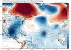
I generally like the overall look on the aifs the last several runs holistically.
If we had the kind of Central America Gyre case where we were just waiting for the Kelvin wave envelope to cross Central America to trigger everything, I’d agree with the euro on keeping development entirely in the BOC knowing how the gfs likes to speed these things up.
Oth, the trough that digs into the southern gulf in a few days and triggers QG ascent in the western Caribbean & subsidence + shear in the bay of Campeche changes the calculus of this whole setup a lot.
Eventually, the environment gets better in the bay of Campeche, but it takes longer to get conducive for large scale convective heating than in the western Caribbean
Gonna be a long 10 days or so with people living and dying by each individual model run and posting what they like! Has it formed yet?
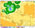
0Z UKMET: TCG at 168 hours 75 miles SSW of W tip of Cuba (50 miles NE of 12Z’s hour 168 position, which is 12 hours earlier); already down to 1001 mb:
NEW TROPICAL CYCLONE FORECAST TO DEVELOP AFTER 168 HOURS
FORECAST POSITION AT T+168 : 20.8N 85.3W
LEAD CENTRAL MAXIMUM WIND
VERIFYING TIME TIME POSITION PRESSURE (MB) SPEED (KNOTS)
-------------- ---- -------- ------------- -------------
0000UTC 27.09.2024 168 20.8N 85.3W 1001 32
NEW TROPICAL CYCLONE FORECAST TO DEVELOP AFTER 168 HOURS
FORECAST POSITION AT T+168 : 20.8N 85.3W
LEAD CENTRAL MAXIMUM WIND
VERIFYING TIME TIME POSITION PRESSURE (MB) SPEED (KNOTS)
-------------- ---- -------- ------------- -------------
0000UTC 27.09.2024 168 20.8N 85.3W 1001 32
lexxnchloe
Member
CMC and gfs not worth posting a map about. Very weak and basically nothing
Shaggy
Member
Ensembles remain very active not just for this storm but the others as well.
lexxnchloe
Member
Henry2326
Member
Henry2326
Member
Henry2326
Member
As much as I’ve been down on the Icon at times the last few years, I gotta say, it’s done very well with predicting storm development this yearIcon and GFS are on point on 9/27.
The rest of them all over the place.
View attachment 151336
View attachment 151337
Shaggy
Member
I've started looking at the icon more than I do the cmc. It sometimes does good with a system and sometimes it misses tooAs much as I’ve been down on the Icon at times the last few years, I gotta say, it’s done very well with predicting storm development this year
NWMSGuy
Member
For what it's worth, the 0Z Spire model moves this close to the Big Bend area before moving it northwest from there.
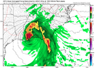
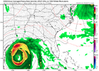
That would certainly be more in line with climo for late September12Z ICON: major change in track vs prior runs! Instead of going into the W Gulf, it never goes W of 89W and landfalls (at ~997 mb) at Panama City, FL, at hour 159 on Thu night.
NoSnowATL
Member
NoSnowATL
Member
NoSnowATL
Member
thanksgivingbrown
Member
Man if those model runs come to fruition Saturday 28th in Tuscaloosa is gonna be a mess for the big game between Bama and Georgia.
accu35
Member
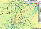
Gfs is really wanting MS/AL
- Status
- Not open for further replies.

