Kylo
Member
The big three have it, and inside 5 days. Cut those in half and it is still a good storm, especially this time of year.


Me, too!Yay! More N.C. snow!
Can’t wait

ICON is drunk on Meade and bloated from corned beef and cabbage , causing gasious feedback issues!
Thanks not quite as good as I was hoping but it's something lol.
Keep it going at that point. Let's not let DC get snow. The GFS says everything east of 6Z.This is going North. The NAM is North, see if the others follow suit! KNew it was too good to be true, the DC area not getting a big storm this year!


Smokies looking goodLatest Euro is okay, but you NC folks are going to be a bit more disappointed. Looks better for GA
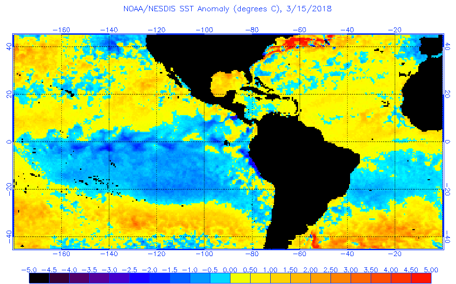
I doubt it. We are trending towards Nino , and that’s not conducive for an active Atlantic. Plus I’d imagine the Atlantic should be below normal temp wise, based on all of the coldI wonder if tropical systems will start early this year?
Yes, the nino may be what we are headed to, but I'm not sure if that's definite yet. The Atlantic, and especially the Gulf are above with a few pockets of cooler. Early storms tend to be in the NE Atlantic though.I doubt it. We are trending towards Nino , and that’s not conducive for an active Atlantic. Plus I’d imagine the Atlantic should be below normal temp wise, based on all of the cold

Last snow pretty much got better as we got closer. This may be a case of models losing it and bring it back as energy is in the “not well sampled” zone for a while. I don’t know.Didn't we do this back and forth dance with the last snow?
Last snow pretty much got better as we got closer. This may be a case of models losing it and bring it back as energy is in the “not well sampled” zone for a while. I don’t know.
If theres anything N AL excels at its severe weather. You can count on that every spring.Glad to see this severe weather isn’t going to miss N AL like all the snow did during the winter *sarcasm*
Geez, if it got any better for us I don’t know if I could stand it.
