• Hello, please take a minute to check out our awesome content, contributed by the wonderful members of our community. We hope you'll add your own thoughts and opinions by making a free account!

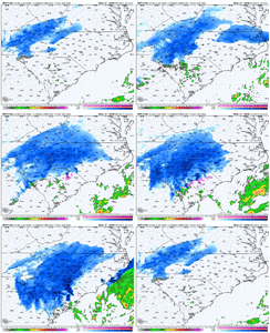
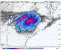
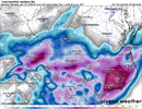
Wintry Machine Learning Mauler 1/30-2/1

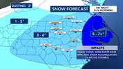
WINTER STORM WATCH IN EFFECT FROM FRIDAY EVENING THROUGH SUNDAY
AFTERNOON...

* WHAT...Heavy snow possible. Total snow accumulations between 2 and
5 inches possible.

* WHERE...Portions of east central Georgia and central South
Carolina.

* WHEN...From Friday evening through Sunday afternoon.

* IMPACTS...Travel could be very difficult.

* ADDITIONAL DETAILS...Saturday night and Sunday morning will be
bitterly cold with wind chills from 0 to 5 degrees possible.

PRECAUTIONARY/PREPAREDNESS ACTIONS...

Monitor the latest forecasts for updates on this situation.
 
dc92d7bb09781f9110feb0514133d209.jpg


Sent from my iPhone using Tapatalk
 
RAH WFO just threw up a WSW for their entire CWA. Here we go!!!

...WINTER STORM WATCH IN EFFECT FROM FRIDAY AFTERNOON THROUGH SUNDAY
AFTERNOON...

* WHAT...Heavy snow possible. Total snow accumulations between 5 and
8 inches possible. Locally significant snowfall totals will also
be possible. Wind gusts of 25 to 35 mph.

* WHERE...All of central North Carolina

* WHEN...From Friday afternoon through Sunday afternoon.

* IMPACTS...The strong winds and weight of snow on tree limbs may
down power lines and could cause sporadic power outages. Travel
may become dangerous or even impossible with widespread closures
and disruptions to infrastructure possible.

PRECAUTIONARY/PREPAREDNESS ACTIONS...

Monitor the latest forecasts for updates on this situation.
Consider delaying all travel. If travel is absolutely necessary,
drive with extreme caution. Consider taking a winter storm kit along
with you and anything else that would help you survive in case you
become stranded.

&&

$$

AS
 
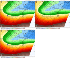
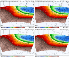
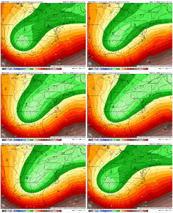
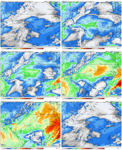
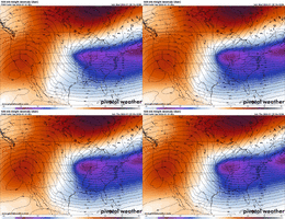
We’re doing the reversal thing on the nam. Base of the trough is east at 45 but there’s more separation so the trough isn’t as + tilted
 
This is a Charlotte snowstorm special. Meaning they are in the epicenter of this. Doesn’t mean they get the most, but nearly all guidance has NO significant fail modes. (High floor) Charlotte is big time due, hope yall score up that way. Hoping for 3-5 inches down here in CAE
 
Last edited:
Definitely a bit more of positive tilt from model runs thats more than previous runs and it’s got me a tad spooked. Is that a blip or do y’all think we keep that up to game time?
We’re still over 24 hours away so I do expect some shifting back and forth. We see this with every storm to some degree, no?
 
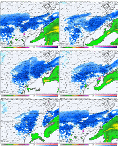
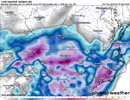
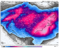
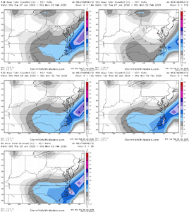
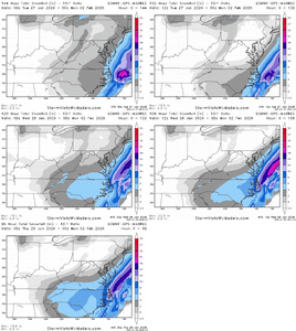
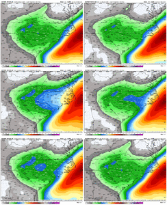
very good 0z runs. This is the past couple of days for the EPS and Google, just 0z/12z

View attachment 191091View attachment 191092
Yeah I can’t be mad that the Euro and GFS are switching positions and the EPS has trended so much wetter. We just have to hold the line and watch the micro climate trends on the hi-res modeling. Hoping for the best with tempered expectations.
 
Yeah I can’t be mad that the Euro and GFS are switching positions and the EPS has trended so much wetter. We just have to hold the line and watch the micro climate trends on the hi-res modeling. Hoping for the best with tempered expectations.
Would like to see AIFS perk up…it’s had a couple blah runs past few.
 
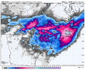
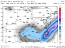
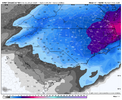
6z AI solid. 2-3” for Raleigh…4-6” towards Charlotte-GSO-AVL.
View attachment 191095
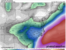
It was a little "wetter" (edit: from 0z) in that north central NC dry slot. That will be the focus today on model runs; does that show dryer or do we turn the tide back to wetter.
 
Back
Top