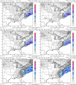
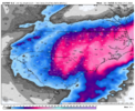
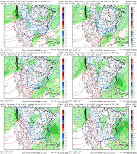
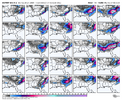
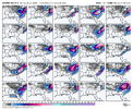
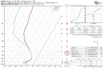
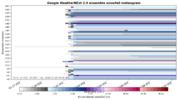
Charleston also addressing the setup.
KEY MESSAGE 2: Very cold temperatures and the possibility of winter
weather could impact the region this weekend.
Beginning Friday, there is good model agreement (deterministic and
ensemble) that a sharp
trough and developing
closed low will dive
southwards out of the Great Lakes region. This upper low is expected
to steadily deepen as it pushes to the south, settling somewhere
across the Carolinas Saturday night into Sunday. At the surface,
arctic high pressure is expected to drop southward out of central
Canada and across the central
CONUS. As this occurs, the
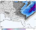
aforementioned upper low should drive surface low development
somewhere along or just off the Southeast coast Saturday and
Saturday night. The proximity of this developing low to the coast
would then have significant implications for the inland extent of
any precipitation development, as well as the potential for any
winter weather across southeast GA and southeast SC.
To be clear, this setup looks completely different compared to the
winter weather event across the region this past weekend. The upper
low and arctic surface
front look to usher in an anomalously and
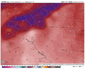
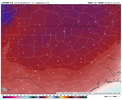
deeply cold airmass. In fact, the 26/00z NAEFS suggests the
potential for temperatures through the column on the order of 3 to 4
standard deviations below
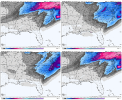
normal. There remains significant
uncertainty surrounding the surface low including the timing of its
development and proximity to the Southeast coast, all of which will
have crucial implications regarding the potential for winter weather
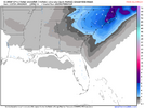
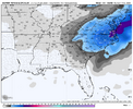
and its extent across the forecast area. However, there is enough
model support and consistency to warrant the inclusion of
precipitation chances across the entire forecast areas as well as
the mention of snow this weekend.
While the above forecast items remain low confidence, there is
relatively high confidence in a period of very cold temperatures
this weekend. Highs only in the 30s look increasingly
likely
Saturday and Sunday, with Saturday night/Sunday morning lows dipping
well into the teens. Such values would be on the order of 20-25
degrees below
normal for late January and early February. See the
Climate section below for a list of record low temperatures and
record low max temperatures.

