• Hello, please take a minute to check out our awesome content, contributed by the wonderful members of our community. We hope you'll add your own thoughts and opinions by making a free account!

Wintry Machine Learning Mauler 1/30-2/1

I would be highly careful to not discount the chance of a absolute whiff despite what the ensembles are saying. I've seen coastals trend west too many times in these setups to only whip OTS the last three days or so.
This is a good point. The specific track plays a big part and in these types of setups. I never really have a good idea on what my area is going to get. Too far west and totals are cut significantly. Too far east, western NC would be in the big totals. Also, even though temps are extremely cold for a storm for the SE, the closer you are to the storm, usually there is WAA to contend with.
I'm loving what the models are showing. This is the type of setup we dream of in the SE. No doubt about that. We just will need to pay close attention to the potential track. I always have 12/2000 nightmares in these types of setups so I'm always on the cautious side...LOL!
 
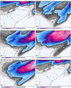
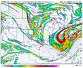
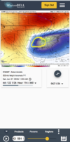
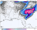
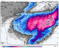
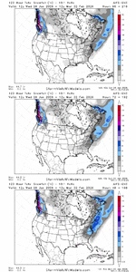
Euro AI, definitely further southeast with the snowfall opposed to last run
57769d60ad8d76eb7f695e132f0f2ccb.jpg


Sent from my iPhone using Tapatalk
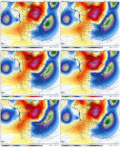
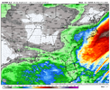
Footprint of the heaviest totals look like the ICON and Canadian.
 
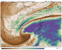
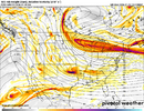
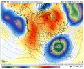
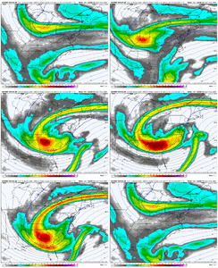
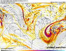
View attachment 189571For the western folks we want this digging back towards the yellow. It will pull the ULL to our southwest and have it go mor so over South Georgia and pop the surface low in the eastern gulf

And that’s good for areas in the south in those states or does it have to go more west?


Sent from my iPhone using Tapatalk
 
1769450469103.png
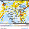
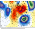
I see something that could help or hurt depending on how it trends. But this run trended a kicker wave faster pushing our vort further east. Better thing for Carolina folks, worse for western folks. Watch how it trends.
 
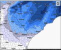
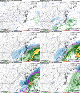
Euro looks decent for the Carolinas. Maybe some novel flakes on the west side through GA...Aside from that, its a swing and a miss for most everyone outside of SC/NC
It's 5 days out...that's a solid look for us at this range. And with unusually high snow ratios, 2 to 4 for half the state is hardly novel flakes.
 
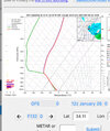
What matters for the upstate and northeast Georgia is the vort max passing beneath us. Trough orientation/closing off isn’t imperative. We will get a nice snow as long as we stay on the north side of that vort pass…

A further south and west digging vort may imply a later/weaker/further east occlusion later on if it’s strung out more, (Or the opposite if it’s further south and west but bundled), but we aren’t dependent on the occlusion here for a decent event.

Every man for himself!
 
And that’s good for areas in the south in those states or does it have to go more west?


Sent from my iPhone using Tapatalk
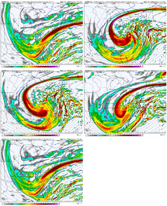
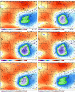
For us more western areas we want if to push farther southwest, I'd say more around Moblie with a neutral tilt then push east or go slightly negative. That pulls up the precip out of the gulf and gives us much better precip. And it can still get eastern areas good as long as it doesn't cut inland. Right now this looks like a glancing shot at best for western sections of Carolinas and a potential big dog for eastern areas.
 
View attachment 189581
I see something that could help or hurt depending on how it trends. But this run trended a kicker wave faster pushing our vort further east. Better thing for Carolina folks, worse for western folks. Watch how it trends.
Yeah there's almost always a kicker that gets involved in some ways or another. Would want that to slow up.
 
Definitely more than a glancing shot lol. This has good potential.
For us more western areas we want if to push farther southwest, I'd say more around Moblie with a neutral tilt then push east or go slightly negative. That pulls up the precip out of the gulf and gives us much better precip. And it can still get eastern areas good as long as it doesn't cut inland. Right now this looks like a glancing shot at best for western sections of Carolinas and a potential big dog for eastern areas.
 
Latest CAE discussion mentioning this weekend below for my Midlands family.

KEY MESSAGE 2: Following a stretch of calm but cold weather this week,
an active stretch of weather is expected over the weekend with
potential winter weather.

Below average temperatures are expected to last through the end
of the week with broad trough in place across the eastern US.
Generally daytime highs in the 40's with overnight lows in the
20's is expected through Friday. The pattern quickly begins to
amplify Saturday as the lingering deep trough over the eastern
US digs south and interacts with the jet draped across the
southern US. The global ensembles and AI suite are in general
agreement that this will rapidly drive cyclogenesis somewhere
from the southeast US to the Mid-Atlantic. While these
ensembles, and inferring from the AI output, are showing the
potential for some snow as this low develops, caution should be
taken in trusting any ensemble and model in this range yet, even
those with internal ensemble consistency. The interaction
between the digging trough (with its own internal dynamic
shortwaves) and the southern jet is inherently chaotic from a
prognostication standpoint; ejecting-decaying cutoff mid level
troughs, like we see from Canada in this setup, are notoriously
difficult to predict. So expect some notable changes in guidance
the next few days, but snow potential cannot be ruled out this
weekend. Regardless of where the low deepens, well below average
temperatures are likely early next week behind whatever occurs
from this system.
 
Back
Top