-
Hello, please take a minute to check out our awesome content, contributed by the wonderful members of our community. We hope you'll add your own thoughts and opinions by making a free account!
You are using an out of date browser. It may not display this or other websites correctly.
You should upgrade or use an alternative browser.
You should upgrade or use an alternative browser.
Wintry Machine Learning Mauler 1/30-2/1
- Thread starter SD
- Start date
Looks a lot like our new friend weather nextEuro
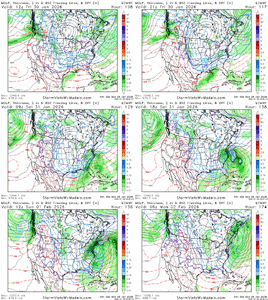
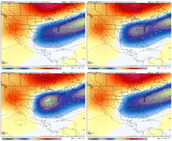
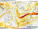
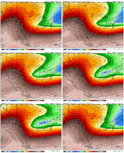
Yes, the TPV widening out / stretching out is a great trend. Without it, we end up with an east coast trough that is too sharp, with no storm. But now that it is widening out, us folk in the southeast also need the western appendage to dig south. If you're in the NE, you're not going to want it to dig south as muchEuro bomba. I’d say another thing we need to be careful is we don’t trend the closed off H5 vort to far north. But wow View attachment 189361
Here's the trend on the Euro (big changes over this stretch)
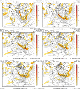
so if it develops like this
big if
i would expect the location of the closed off 500mb low to bounce around a lot and i'd be seeing how the ensemble envelope shifts
big if
i would expect the location of the closed off 500mb low to bounce around a lot and i'd be seeing how the ensemble envelope shifts
NBAcentel
Member
NBAcentel
Member
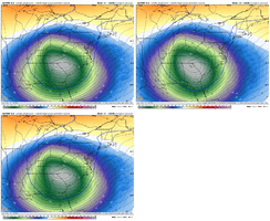
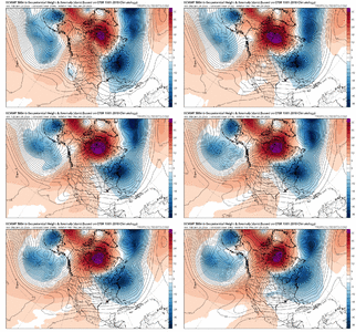
When it was showing the sharper east coast trough, I had been noticing the Euro really retrograding the Greenland block into Hudson Bay quickly. You can see on the trend loop here how at the beginning of the loop, it is poking the retrograding Greenland block down into Lake Superior.....but has since backed off on that, which has allowed the TPV to stretch out more west to east. The downside is that it may be too much of a good thing over time. The upshot may be that it allows our southern stream wave to become more of a factor and have room to breath and sharpen over the SE, which is what the WNext seems to be doing a little more of

accu35
Member
This look is more of a Miller A? More amped?
This look is more of a Miller A? More amped?
Yes to both
Seems a little excessive to say that ngl considering it could trend that way
Sent from my iPhone using Tapatalk
No, he's correct. Just the way things are. Sure the possibility is there, but 95% of the time, us in Alabama are on the outside looking in on coastals.
I'll happily eat crow being wrong though, but I'm not getting my hopes up. We desperately need the southern stream s/w to rise from the dead.
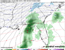
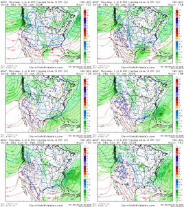
^ Yeah it's a trend from really compressed flow along the east coast (way south storm off the coast) to room for TPV / northern stream to drop down and potentially phase with the southern stream wave. Can see some deep south precip with gulf low here on the CMC EnsThis look is more of a Miller A? More amped?
NBAcentel
Member
NBAcentel
Member
Snowking2.0
Member
I know it’s early but is this turning more into a storm for the carolina’s in general and not much for the western states?
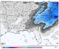
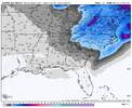
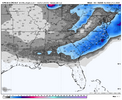
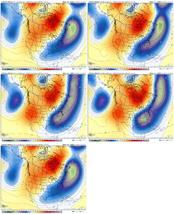
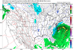
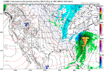
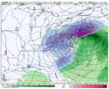
Here they are fwiw lol:
View attachment 189376
View attachment 189377
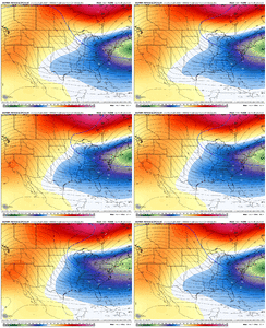
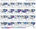
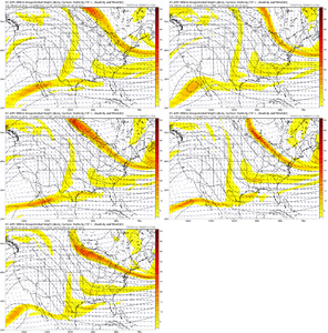
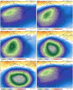
Always be aware of the trend, however, which is clearly westward (how far will it go?):
View attachment 189379
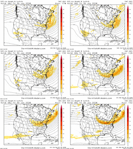
That is making me think almost an overrunning setup at H5 before the Carolinas bomb.
I know it’s early but is this turning more into a storm for the carolina’s in general and not much for the western states?
Don’t forget the NW trend (model correction) which would be your very necessary friend. If it were to come through big enough, you’d be in the game.
SegTindo
Member
No, he's correct. Just the way things are. Sure the possibility is there, but 95% of the time, us in Alabama are on the outside looking in on coastals.
I'll happily eat crow being wrong though, but I'm not getting my hopes up. We desperately need the southern stream s/w to rise from the dead.
I understand not saying he’s wrong but it still kinda hurts that he said that but I’m not gonna lose hope yet but I’m lowering my expectations to %1 lol
Sent from my iPhone using Tapatalk
packfan98
Moderator
lexxnchloe
Member
packfan98
Moderator
We posted at the same time. Not a bad look. A slow moving system with lots of potential.
lexxnchloe
Member
packfan98
Moderator
Put that in the February thread.
packfan98
Moderator

Look at that PIVOT. Thats when you make history
packfan98
Moderator
Good synopsis about where we are at currently from the NWS Raleigh overnight discussion:
“For Saturday, the latest 00Z guidance (including the GFS, ECMWF,
their ensembles, and various AI-based output) is maybe trending
towards some snow potential for our area. In general, most guidance
depicts a strong northern stream trough digging south across the
Great Lakes Friday and merging with a southern stream jet somewhere
over the Deep South/Southeast Saturday. Additionally, while previous
runs of the GFS/Euro/Canadian were each waffling back and forth
between no coastal low and a definite coastal low, virtually all of
these models are now depicting some sort of offshore cyclogenesis.
Still a bit far out to talk in absolutes, but the synoptic setup may
indeed be favorable for snow for our CWA. We`ll see how the guidance
trends wrt to handling the upper and lower level waves this week,
and if a favorable setup for snow to spread inland over central NC
unfolds, or if instead the Mid-Atlantic/New England region trends
more favorable.”
packfan98
Moderator


New 6z AIFS says good morning!
packfan98
Moderator
iGRXY
Member
Western Carolina’s you got to love where we are right now. Just to the north and west of the heaviest totals. Rule number 1 of model watching: do not be in the bullseye until 2-3 days out max. Be northwest. We just need the pinched piece of energy to continue to dig south and. West so that we can get a low to form in the gulf and not in the Atlantic
iGRXY
Member
iGRXY
Member
iGRXY
Member
Get this to close of just 50-70 miles further south and west and everyone from Georgia to the coast is getting mauled
packfan98
Moderator
Forevertothee
Member
GSP thoughts 1am
Small possibility of snow next weekend with development
of coastal low pressure to our east or southeast. If snow were to
fall, it could easily reintroduce or worsen travel impacts due to
the cold temperatures prior to onset.
The latest models are coming into a little better agreement on
a sharp vort lobe carving a deep trough over the Southeast late
Friday into Saturday. This wave may provide energy to induce
cyclogenesis somewhere near the South Atlantic Coast. The low
looks to likely form offshore the Carolina Coast, resulting in
largely dry conditions for our area. There still could be some
brief NW flow snow shower activity with the passing upper trough,
but confidence of any precip east of the mountains remains low. A
handful of ensemble members from each of the GEFS/EC/GEPS and the
AI ensembles all have some QPF over our Piedmont with a possible
precip shield extending NW of the coastal low. The air mass in place
would be so cold, that the most likely precip type would be all
snow for our area. The latest NBM PoPs are still only in the 10-20%
range Friday night thru Saturday. But this situation bears watching,
as such cold temps ahead of this system would make even light snow
stick to roads more than usual, and lead to slippery conditions.

