HailCore
Member
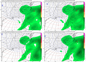
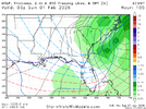
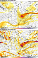
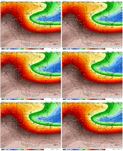
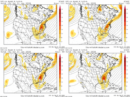
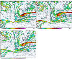
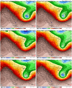
I do believe with all of the energy associated with the base of the vort max, the short-range models will probably pick up a lot more light snow showers and flurries across the area as long as there is sufficient low level cloud cover. These types of setups with the base of a vort max can sometimes produce quick heavy snow showers/squalls that can produce localized accumulations, but the much colder and drier air might be a limiting factor (although snowfall ratios can help some with this if sublimation can be overcome).Tracking for my areas to the NW/West of ATL...ready to get my hopes destroyed
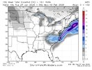
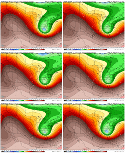
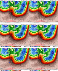
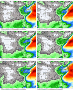
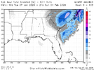
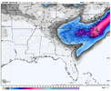
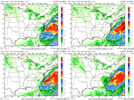
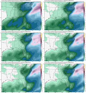
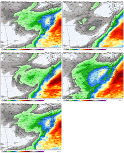
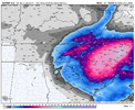
18z GEFS had about 11 - 20 members with measurable 1 inch snow around West parts of GA all modest/decent hits
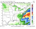
12z GEFS had about 8 - 20 members but a few big ones across the SE as a whole

