looks like this ridge may hurt Karen in a way, if it’s weak and exposed already, it’s just gonna die with dry air entrainment like that, most of that dry air is subsidence from the ridge...
View attachment 24002
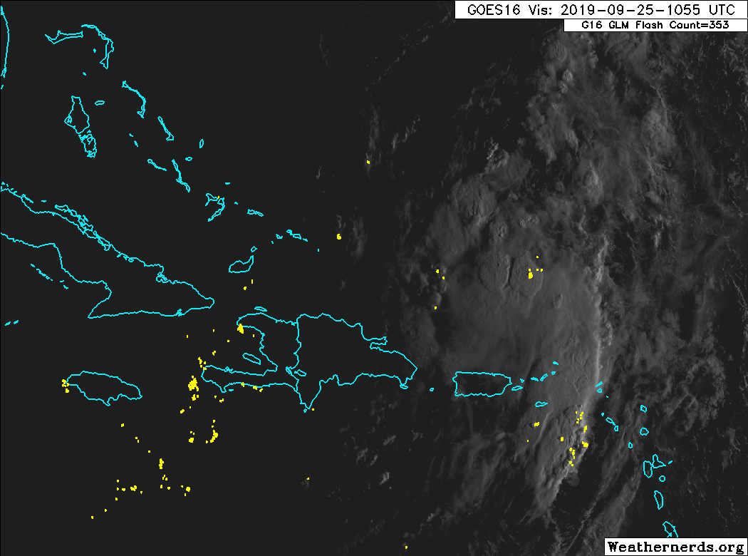
You would think that but the NHC seems bullish on Karen and strengthening regardless of the dry air..
The main reasons for global
models weakening the cyclone is due to the low- and upper-level
circulations decoupling in about 3 days, followed by very dry
mid-level overspreading of the low-level circulation, shutting
off convective development. The problem with that scenario is that
Karen will be moving into very low vertical shear conditions and
underneath an upper-level anticyclone by 36 hours, which favors
strengthening since the cyclone will also be sitting over 29 deg C
water of considerable depth. For now, the new official intensity
forecast remains a compromise between the weak dynamical model
solutions and the stronger SHIPS intensity forecasts,