-
Hello, please take a minute to check out our awesome content, contributed by the wonderful members of our community. We hope you'll add your own thoughts and opinions by making a free account!
You are using an out of date browser. It may not display this or other websites correctly.
You should upgrade or use an alternative browser.
You should upgrade or use an alternative browser.
Pattern Januworry
- Thread starter SD
- Start date
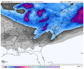
I was just about to say fro! We gotta be carful boys we’re clearly missing the threats that are right under our noses .. this is BEFORE donocane!! .. almost looks like this past storm to be completely honest! Multiple low pressures scooting along that boundary with cold air pressing in from the north .. Jesus 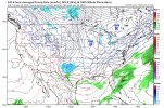
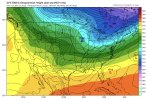
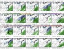


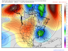
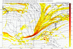
Regarding the overall January pattern, just a quick run through the GFS model run shows legit chances of a winter storm for parts of this board's footprint every few days for the next 10-14 days and including the past two systems for much of the month of January. Not too shabby.
No I’m just stating this storm could be much bigger than modeled but the GFS. You just had the GFS loop posted.Not really, it's the same exact evolution.
Here we are after weeks of a cold pattern and after two winter storms and a novelty event.. we’re even getting a lot of people in the game this year everyone’s had some sort of “score” storm .. and yet we’re still tracking multiple threats UNDER 240 hours .. I just can’t believe this January pattern. I guess that’s what happens when peak climo meets a good storm pattern .. the GEFS for Donocane look absolutely salivating at this juncture. 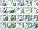

iGRXY
Member
I’m Tellinya, whenever models starting honking at a pattern change you need to add at least 7-10 days to that date. Models always try and rush the pattern change too fast. December is a perfect example of the models showing a change around the 21st to cold but quickly got pushed to the 3rd. See no difference here except it’s cold to warmth. As far as next weeks system goes, you give me a phase and trough digging well into the gulf and I’ll gladly take my chances that says that’s a board wide hit. Especially I20 north.
Shaggy
Member
That's a beautiful map.for me but realistically that would never hold in this range and this one is primed to cut inland.The teeth-gnashing you hear is from the NE crew...?
View attachment 109677
Shaggy
Member
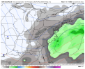
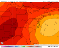
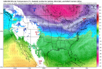
Leave that low out there and we would be go for another big SC NC hitWe are living in good times right now weather wise View attachment 109702View attachment 109703View attachment 109704
griteater
Member
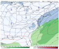
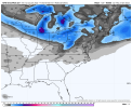
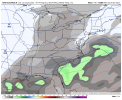
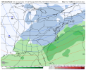
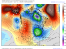
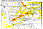
Comparing the 12z CMC / UKMet / GFS gives a feel for the goal posts with the wave handling
CMC has a stronger GOAK trough / BC ridge spike and the wave digging thru the Rockies splits with one piece tucking down into AZ. So the splitting wave packet leads to a less consolidated system over the SE
UKMet has a weaker GOAK trough / BC ridge spike and the wave diving down into the SE isn't as strong and consolidated
GFS also has a strong GOAK trough / BC ridge spike and it's in between the CMC and UKMet...it tries to tuck a piece of the wave into AZ, but then kicks it out and a the whole wave sharpens in the SE
Just want to stay in the ballpark at this time range with a super-ensemble of Op and Ensemble member runs


Last edited:

