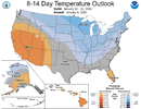
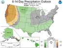
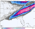
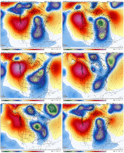
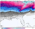
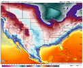
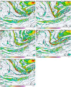
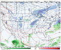
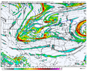
The Taller the western Ridge can poke up North, The sharper and steeper the drop. We can live with it coming east some, If its shaped more like a ball point pin/ inverted V punching more north , As opposed to a big round basketball.
-
Hello, please take a minute to check out our awesome content, contributed by the wonderful members of our community. We hope you'll add your own thoughts and opinions by making a free account!
You are using an out of date browser. It may not display this or other websites correctly.
You should upgrade or use an alternative browser.
You should upgrade or use an alternative browser.
Pattern January Joke
- Thread starter SD
- Start date
Let’s do it. Something’s gotta give.
My names not SNOWMANN if someone other than Luke/VA doesn't see flakes fly during that time frame. Just need a few tweaks with the upper levels and somebody will score. Next few days of runs will be interesting.Let’s do it. Something’s gotta give.
NCWeatherNow
Member
I saw flakes fly on that early December Virginia specialMy names not SNOWMANN if someone other than Luke/VA doesn't see flakes fly during that time frame. Just need a few tweaks with the upper levels and somebody will score. Next few days of runs will be interesting.
Tsappfrog20
Member
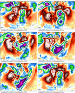
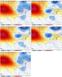
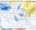
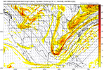
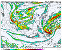
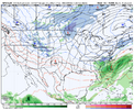
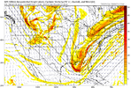
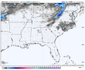
Euro Wk Control run shows us how to do it. Drop the initial trough in and cool it down...then anti-cyclonic wave break along the W Canada coastline, and drop the next wave down into the trough in positive tilt (this keeps it cold out front), transitioning to neutral tilt...Miller A.
View attachment 181803
View attachment 181805
View attachment 181806
View attachment 181807
I wish that would happen
Sent from my iPhone using Tapatalk
Everything you just said sounds impossible and improbable lol.Euro Wk Control run shows us how to do it. Drop the initial trough in and cool it down...then anti-cyclonic wave break along the W Canada coastline, and drop the next wave down into the trough in positive tilt (this keeps it cold out front), transitioning to neutral tilt...Miller A.
View attachment 181803
View attachment 181805
View attachment 181806
View attachment 181807
MichaelJ
Member
Forevertothee
Member
That would make up for the misery of us just south of 85 in SC.....and I would punt the next couple of winters to get it.Euro Wk Control run shows us how to do it. Drop the initial trough in and cool it down...then anti-cyclonic wave break along the W Canada coastline, and drop the next wave down into the trough in positive tilt (this keeps it cold out front), transitioning to neutral tilt...Miller A.
View attachment 181803
View attachment 181805
View attachment 181806
View attachment 181807
SnowNiner
Member
Euro Wk Control run shows us how to do it. Drop the initial trough in and cool it down...then anti-cyclonic wave break along the W Canada coastline, and drop the next wave down into the trough in positive tilt (this keeps it cold out front), transitioning to neutral tilt...Miller A.
View attachment 181803
View attachment 181805
View attachment 181806
View attachment 181807
So nice to see those maps are still capable of being shown! But why does it always have to be the control run? ha
Nice to see anyway. Didn't look like a perfect spikey western ridge or -NAO but it worked. Maybe we can put something like that together in a week and half.
It's definitely within the scope of the possible. We have just been clawing all winter to even be in the game. The ingredients "appear" to be on the table. This time. But it takes more than just having the ingredients to make a cake.So nice to see those maps are still capable of being shown! But why does it always have to be the control run? ha
Nice to see anyway. Didn't look like a perfect spikey western ridge or -NAO but it worked. Maybe we can put something like that together in a week and half.
At least there are ways to make it happen. The ridge out west has to behave just right, or we need some -NAO to give us more wiggle room.
Grit is right about how things need to shake out and that we've made strides with the pattern. But we really do not have a lot of wiggle room here, at least the way it appears right now.
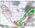
On a more short term note, very surprised that there’s not a flood watch anywhere in North Georgia. Seems like someone is gonna get 3-4 inches just a question of where the training bands set up.
3K NAM is well north of Atlanta with heaviest totals
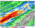
RRFS and the Euro have the heaviest rains impacting metro Atlanta
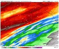
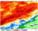
It’s anyone’s guess as to what’s correct
3K NAM is well north of Atlanta with heaviest totals

RRFS and the Euro have the heaviest rains impacting metro Atlanta


It’s anyone’s guess as to what’s correct
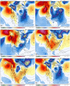
After our Miller A blizzard, we get the big, cold TPV to drop into Canada. Thereafter (Jan 21-28) should give us out best shot at west to east overrunning into cold air. Would just like to keep some momentum in the Pac Jet and maintain some western ridging to get the cold to press south more.
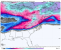
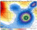
May have some -EAMT issues (2nd image showing Low anomalies in E Asia, High anomalies in W Asia) in the Jan 15-18 timeframe that would want to retract the jet post Jan 20...but at that same time, we have the favorable tropical forcing kicking in to help with momentum (3rd image, loop)
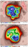
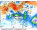
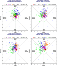
From today's Euro Weeklies for Jan 19 - 28
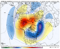
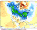
May have some -EAMT issues (2nd image showing Low anomalies in E Asia, High anomalies in W Asia) in the Jan 15-18 timeframe that would want to retract the jet post Jan 20...but at that same time, we have the favorable tropical forcing kicking in to help with momentum (3rd image, loop)


From today's Euro Weeklies for Jan 19 - 28


Pattern (yes with fluctuations) makes the pattern. We've had so little rain in the Piedmont..something that bears watching, short term and long. Hoping the STJ can kick in for all of the southeast.On a more short term note, very surprised that there’s not a flood watch anywhere in North Georgia. Seems like someone is gonna get 3-4 inches just a question of where the training bands set up.
3K NAM is well north of Atlanta with heaviest totals
View attachment 181815
RRFS and the Euro have the heaviest rains impacting metro Atlanta
View attachment 181817View attachment 181818
It’s anyone’s guess as to what’s correct
WXinCanton
Member
Blend them all and its pretty much over us. Be interesting to see who winsOn a more short term note, very surprised that there’s not a flood watch anywhere in North Georgia. Seems like someone is gonna get 3-4 inches just a question of where the training bands set up.
3K NAM is well north of Atlanta with heaviest totals
View attachment 181815
RRFS and the Euro have the heaviest rains impacting metro Atlanta
View attachment 181817View attachment 181818
It’s anyone’s guess as to what’s correct
JHS
Member
The western part of that will be pared back after this weekend. The eastern part of this may be there for a while and even upgraded more.
NBAcentel
Member
NBAcentel
Member
trackersacker
Member
This will potentially choke the La Niña and allow the MJO to more likely move into phase 8 correct?
LukeBarrette
im north of 90% of people on here so yeah
Meteorology Student
Member
2024 Supporter
2017-2023 Supporter
NBAcentel
Member
for the second look, gotta get rid of the stream connection for the digging wave, it connecting to the northern stream in Canada is causing low pressure around the lakes, if you got rid of that, we probably cook up some cold air damming, given the proximity of the 50/50 low, but as long as there’s stream connection, low pressure around the lakes will scour any high pressure out 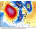

Cad Wedge NC
Member
That look should be producing a winter storm. What does the surface reflection look like?So close to being inSPIREd View attachment 181825
NBAcentel
Member
We needs info!!!
MRKEVIN7575
Member
This will potentially choke the La Niña and allow the MJO to more likely move into phase 8 correct?
No doubt we are going into an elniño in next few months, but the million dollar question is will all these shifts get the pattern loaded for colder and better opportunities at winter weather before we run out of time this winter?
NBAcentel
Member
This run might cut something off here. Could be big
LukeBarrette
im north of 90% of people on here so yeah
Meteorology Student
Member
2024 Supporter
2017-2023 Supporter
LukeBarrette
im north of 90% of people on here so yeah
Meteorology Student
Member
2024 Supporter
2017-2023 Supporter
NBAcentel
Member
I bet if that kicker was a bit delayed this run would have been nuts lol. This is getting really close to something legit though. Just worried about cold feed issuesView attachment 181831
Will the energy arriving too early in the PNW make it harder to dig is the question
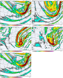
Bingo
yep nothing but rain for SCI bet if that kicker was a bit delayed this run would have been nuts lol. This is getting really close to something legit though. Just worried about cold feed issues View attachment 181835
wow
Member
Jan 2000 vibes
LukeBarrette
im north of 90% of people on here so yeah
Meteorology Student
Member
2024 Supporter
2017-2023 Supporter
LukeBarrette
im north of 90% of people on here so yeah
Meteorology Student
Member
2024 Supporter
2017-2023 Supporter
accu35
Member
Second system looking very interesting

