• Hello, please take a minute to check out our awesome content, contributed by the wonderful members of our community. We hope you'll add your own thoughts and opinions by making a free account!

Pattern January Joke

Can someone please tell me what in the world Nat Gas has to do with everything? I hear this all the time & I don't have a clue about it. I mean I can pick up on the basics. Warm temps makes it go down, cold makes it go up..

But do people actually give that weight in the long range forecast? Not being sarcastic here.. Genuine question.

1. NG in winter almost always goes up (down) when the 2-3 week forecasts for the E US look colder (warmer).

2. The NG market is very heavily influenced by the forecasts given by reputable objective forecasters as opposed to those with a cold bias like JB.

3. So, NG movement is a reflection on how things are looking, not the other way around. The point on mentioning NG is that it shows how the reputable pro wx community is seeing things in their forecasts. Thus it’s an excellent barometer in that way. When models and thus forecasts start coming in colder, NG will rise.
 
Last edited:
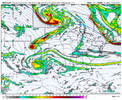
Once again not very encouraging to see the EPS be abysmal View attachment 181194
It seems like overall the issue is just dry more than lack of cold or a bad pattern. It wouldn't hurt us right now to have the trough axis farther west than we'd like and have to hope for cold
 
When it comes to western troughs this fall & winter, I’ll believe it when I see it

Good point and we've had plenty of snow events with NPac ridges when they build poleward which is what the models are indicating but dang...we can't seem to shake that pattern. Hopefully a nino next winter can do that...
 
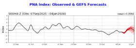
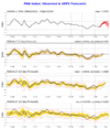
Back to the Jan PNA, which I’m not at all yet giving up on as I said because there’s still time for the models to change, this 24 hour change of the GEFS mean does show how quickly forecasts can change:

24 hours ago (1/4 forecast): rose to neutral Jan 10th but that was it as it then aimed slowly downward afterward with only 4 members staying +PNA to the end:
IMG_6730.png


Today (1/5 forecast): rises to neutral Jan 9th and quickly goes to a +PNA for a week, a significant + change. However, the mean then heads back down to neutral. That being said, note that there are more members (~10/33%) that stay + to the end (1/19) vs only 4 yesterday. What that 1/3 of members is doing is the kind of thing we need going past midmonth to have a good shot at a +PNA Jan like numerous analogs had been suggesting has a high chance:
IMG_6753.png
 
It seems like overall the issue is just dry more than lack of cold or a bad pattern. It wouldn't hurt us right now to have the trough axis farther west than we'd like and have to hope for cold
I think that's a fair point. All things being equal, I'd rather have a suppressed and dry look, personally, way out in time, as opposed to riding the edge of a knife and hoping the trough axis doesn't shift west with time.

It is an interesting discussion, though. Some want moisture and hope for cold, and others want cold and hope for moisture. I'm in the latter camp, but I understand the other argument too.
 
Yeah, catching up, just looking at the big picture 10 days from now....... we still have an AK low hanging tough with a East Pacific Ridge that gets big enough to turn into a +PNA. The problem is, it's not very cold other than AK (still!). After that, the STJ retracts, and the e ridge retrogrades to a East Pacific Ridge that pokes to AK, but it's tilt and orientation troughs west and pokes a SE ridge. Hopefully that tilt and orientation is modeled incorrect.

I know we're starting to talk about February with hopeful eyes, but my hope is still clinging to the second half of January. I have zero upon zero hope for anything in the SE for February. I could be wrong but me waiting for a cold February is like Webb waiting for a western trough this year. I'll believe it when I see it. So warm. They've been so, so warm, for so so long.


1767627701497.png
1767627933526.png
 
Last edited:
I think that's a fair point. All things being equal, I'd rather have a suppressed and dry look, personally, way out in time, as opposed to riding the edge of a knife and hoping the trough axis doesn't shift west with time.

It is an interesting discussion, though. Some want moisture and hope for cold, and others want cold and hope for moisture. I'm in the latter camp, but I understand the other argument too.
1000% cold fist. 99% of the time long range trends are for the moisture to trend north as time moves close imo
 
Yeah, catching up, just looking at the big picture 10 days from now....... we still have an AK low hanging tough with a West Pacific Ridge that gets big enough to turn into a +PNA. The problem is, it's not very cold other than AK (still!). After that, the STJ retracts, and the w ridge retrogrades to a West Pacific Ridge that pokes to AK, but it's tilt and orientation troughs west and pokes a SE ridge. Hopefully that tilt and orientation is modeled incorrect.

I know we're starting to talk about February with hopeful eyes, but my hope is still clinging to the second half of January. I have zero upon zero hope for anything in the SE for February. I could be wrong but me waiting for a cold February is like Webb waiting for a western trough this year. I'll believe it when I see it. So warm. They've been so, so warm, for so so long.


View attachment 181210
View attachment 181211

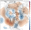
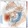
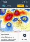
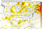
Plain and simple, that 2nd EPS image depicting a -PNA needs to be totally wrong imho. And with that being 15 days out in semi-fantasyland even for an ens mean, it very well could be, especially when considering the 90 day maps showing a significant -PNA bias even well before day 15. For example, look at how much the GEFS mean PNA has risen for 1/9-16 just since yesterday.
 
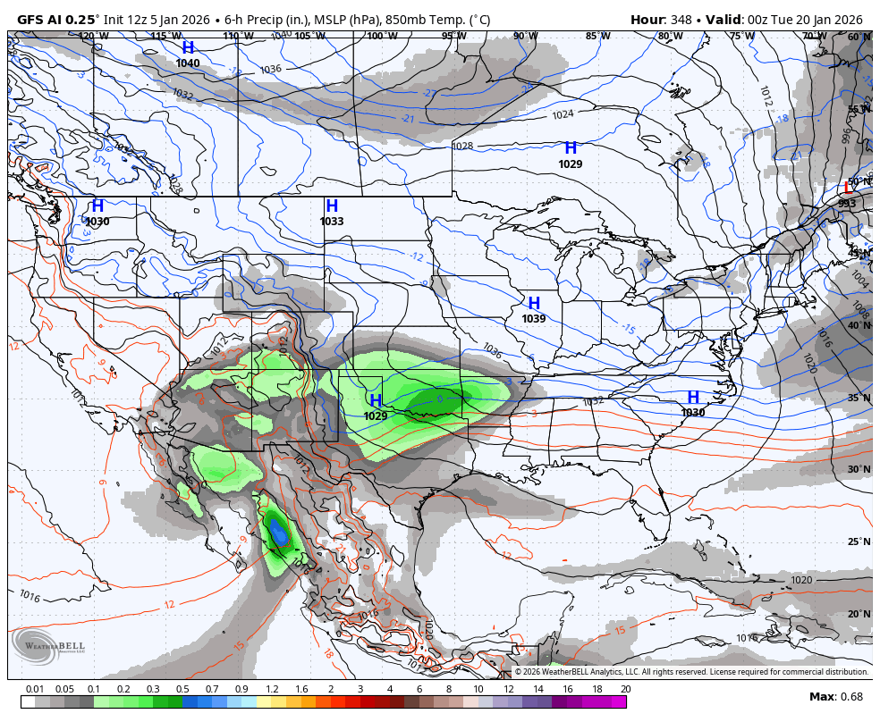
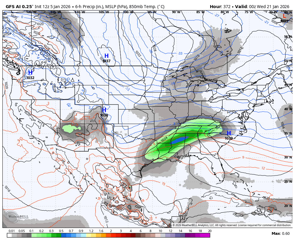
Loading up on the AI GFS...
1768867200-6R8G05lRFkI.png
 
Plain and simple, that 2nd EPS image depicting a -PNA needs to be totally wrong imho. And with that being 15 days out in semi-fantasyland even for an ens mean, it very well could be, especially when considering the 90 day maps showing a significant -PNA bias even well before day 15. For example, look at how much the GEFS mean PNA has risen for 1/9-16 just since yesterday.

I guess it'll all come down to the forcing of the jet like it always does. Maybe if there's a full mjo pulse in a good phase we can get it done. With the mjo being so unpredictable and weak so far this winter I don't know what to root for.
 
One thing I will say is that in spite of the uncertainty with a long range pattern change, we haven’t even seen a lot of waffling in the mid range. Seems once we get to that 10 day period models haven’t been terrible at all. It’s been the long range where the busts have occurred. This current cool stretch followed by the warmup have been great pretty locked in since Christmas week. We haven’t had any rug pulls or digital snow that disappears. For all the chatter about how bad models have been lately I’m kinda on the other side that yea, long range is terrible and usually is but mid range hasn’t seemed to be that bad. I remember 2022 when we went from a major snowstorm to nothing to a good storm all in the last 36 hours on models. We haven’t even gotten that close with anything this year and consequences from cold/dry to not as cold/dry aren’t as perceptible. So really, from a sensible weather standpoint that 10-12 range and inside of it hasn’t been THAT BAD
 
Yeah, catching up, just looking at the big picture 10 days from now....... we still have an AK low hanging tough with a East Pacific Ridge that gets big enough to turn into a +PNA. The problem is, it's not very cold other than AK (still!). After that, the STJ retracts, and the e ridge retrogrades to a East Pacific Ridge that pokes to AK, but it's tilt and orientation troughs west and pokes a SE ridge. Hopefully that tilt and orientation is modeled incorrect.

I know we're starting to talk about February with hopeful eyes, but my hope is still clinging to the second half of January. I have zero upon zero hope for anything in the SE for February. I could be wrong but me waiting for a cold February is like Webb waiting for a western trough this year. I'll believe it when I see it. So warm. They've been so, so warm, for so so long.


View attachment 181210
View attachment 181211
Scoring February this year will be tough … say first week February last couple weeks January be our window to score
 
1767632831720.png
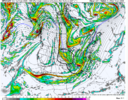
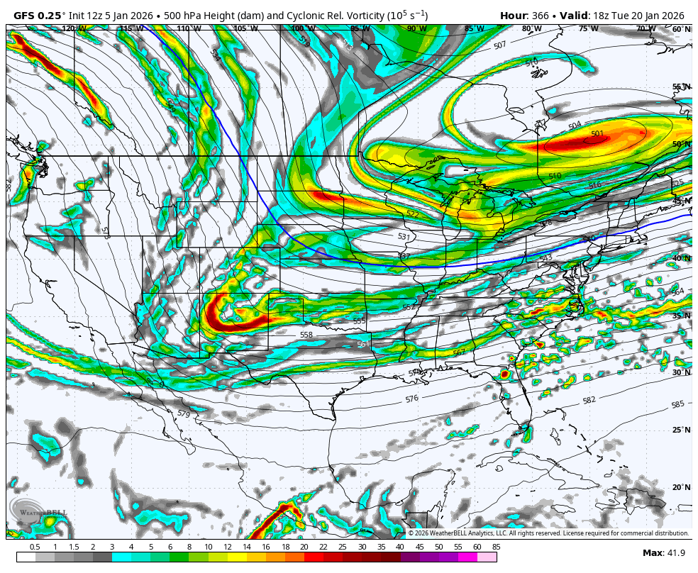
Late in the run but some decent things happening here. Not posting it in the other thread, super long range
 
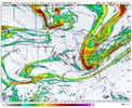
The GFS actually reflects the potential pattern well. Gives a small window next week then releases Canada deeper in the run. The common issue I see is the troughs not digging enough. Cold is right up the road.
Tries hard to get an overrunning look established
 
1. NG in winter almost always goes up (down) when the 2-3 week forecasts for the E US look colder (warmer).

2. The NG market is very heavily influenced by the forecasts given by reputable objective forecasters as opposed to those with a cold bias like JB.

3. So, NG movement is a reflection on how things are looking, not the other way around. The point on mentioning NG is that it shows how the reputable pro wx community is seeing things in their forecasts. Thus it’s an excellent barometer in that way. When models and thus forecasts start coming in colder, NG will rise.
but what if some of these pro forecasters are just in the pockets of NG and are helping to manipulate markets vs. forecast?
 
but what if some of these pro forecasters are just in the pockets of NG and are helping to manipulate markets vs. forecast?
I couldn't care less about commodities as it relates to predicting the weather. They look at all the same data we do. We're all seeing the same things. And I do firmly believe that market manipulation takes place (or at least there are attempts to) to some degree.
 
Back
Top