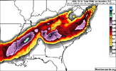
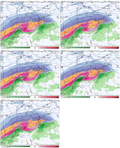
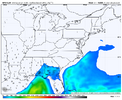
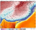
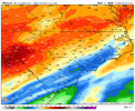
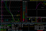
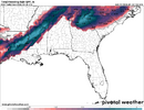
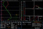
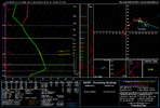
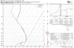
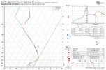
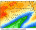
Some met could correct me here but I think this is going to be a bit of duel LP situation where the inland surface low tracks NE up the apps a bit while the weaker coastal continues to strengthen and move up off Va where it takes over as the primary. All the while these two will be linked dragging a warm front north over us?? I think...Would indicate the Icon is trying to develop the coastal low somewhere off the SC coast, where other models are much further north, I think.
Last edited:

