ghost1
Member
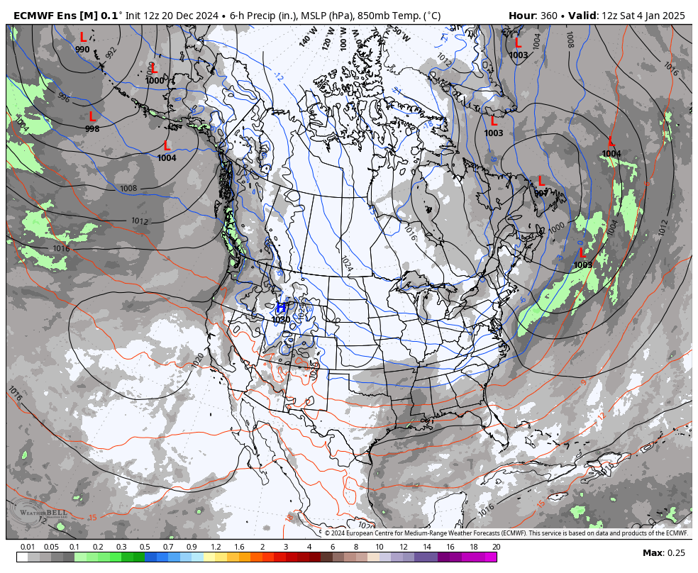
A 1028 HP bringing the goods?CFS has several lows bringing snow and ice to central and western NC before this
View attachment 156284
A 1028 HP bringing the goods?CFS has several lows bringing snow and ice to central and western NC before this
View attachment 156284
If you’re analyzing the pressures on the CFS you’re doing it wrong lolA 1028 HP bringing the goods?
 .
.
Better than the bads we have had for so many years now, lolA 1028 HP bringing the goods?


I think it’s just the fact that this tune has been sung before and old man winter said “I don’t think so” and it failed. Of course, this is weather one can only find trends and the upcoming one looks decent!12z GEPS and GEFS look great at around 300hrs and are only getting better towards the end of their runs. They now line up nicely with what the Euro/EPS have been showing. Early/mid January looks amazing, plus it is peak climo. Let's go!
I have no idea why people are feeling bad about winter right now.


The low heights crashing through Maine under the tongue of higher heights. Delicious500Ht and 850T at end of EPS run (where I like to live lol)....broad bowl trough beneath the 2 ridge centers
View attachment 156303
View attachment 156304
It's more than that, IMO. This has the earmarks of a southern slider, suppressed storm look and even the EPS is picking up on it. Obviously this is just for funsies, but if we can pull this forward we'll be tracking something in another week.This is a great look for the SE. No cutter or app runner with this look.


I ain't even gonna lie Eric, you nailed this. I admittedly have my doubts about people talking non stop about weather weeks out, but you pretty much called this one. Now we just need it to happen.
And some precip to go along with it.I ain't even gonna lie Eric, you nailed this. I admittedly have my doubts about people talking non stop about weather weeks out, but you pretty much called this one. Now we just need it to happen.
I ain't even gonna lie Eric, you nailed this. I admittedly have my doubts about people talking non stop about weather weeks out, but you pretty much called this one. Now we just need it to happen.
Man, the trough axis like almost the very last thing I would be concerned about right now. The only thing I might put lower on the worry list is Gulf convection robbing the moisture feed.I'm worried about the trough axis location. It would be better pointed at Mobile and not 500 miles east of FL.
Some of y'all must be trolling. Take the crap posts to the banter thread.

I don’t think they are trolling, just excited about cold. I really think they believe the models will deliver.Some of y'all must be trolling. Take the crap posts to the banter thread.


Some of our best winter storms have happened with a strong block over Baffin Bay and flatter western ridge.EC AI is far more aggressive with the Atlantic blocking with a giant west based -NAO vs the Alaskan block, rather more flatter west coast ridging. And even it was about to produce a big winter storm for the Carolina’s
View attachment 156326
View attachment 156325View attachment 156323View attachment 156324
Repeat of last Jan? It was cold as crap in heart of country and had an event or two in the Deep South.
View attachment 156328
View attachment 156327
The brunt of the cold was a little colder in my area, but the duration of the cold did not last near as long as the stretch of cold in Feb/2021.That was our only real winter last year. The only decent accumulation and almost as cold as 2021 was
*At / Near end of model runs*Repeat of last Jan? It was cold as crap in heart of country and had an event or two in the Deep South.
View attachment 156328
View attachment 156327


It seems like it's been FOREVER since we had a legitimate 50/50 but it one of those ingredients that seems to be key for us, slowing down the progression enough to allow precip to catch up with the cold. It would be really nice to see some good 50/50s.This is pretty easily how you get a suppressive pattern rather quick. Already a big 50/50 low in place. What makes this look different from the early dec pattern is far more 50/50 low and a far more open S/W US from a more west ridge axis signaling energy View attachment 156316
Also the pac jet is almost perfectly extended at the end of the EPS. To Hawaii. Nice Aleutian low as well
View attachment 156317View attachment 156318


