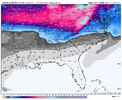
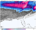
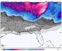
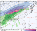
-
Hello, please take a minute to check out our awesome content, contributed by the wonderful members of our community. We hope you'll add your own thoughts and opinions by making a free account!
You are using an out of date browser. It may not display this or other websites correctly.
You should upgrade or use an alternative browser.
You should upgrade or use an alternative browser.
Pattern Jan 2025 Powered by Rheem AC
- Thread starter SD
- Start date
lexxnchloe
Member
ITUSETOSNOW
Member
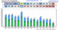
Could you do KPDK?
iGRXY
Member
He’s still on hereOff topic question, but does anyone know what happened to Meteorologist Chris Simmons? He was a regular poster here, especially during winter..
Really miss his analysis
Man we gotta score at some point with these temps
We should kiss the 50-51 degree mark today for an hour or two here. It will also be the last time we see it for the next 15 days atleast. Likely mby ends up BN for Dec and Jan. Thats a huge win in an of itself. Need a SECHS Jan8-10, to get season of above normal snowfall for a change.
Webberweather53
Meteorologist
Webberweather53
Meteorologist
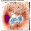
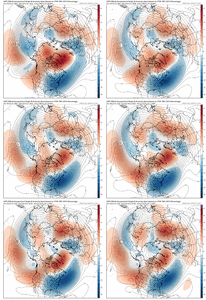
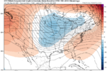
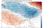
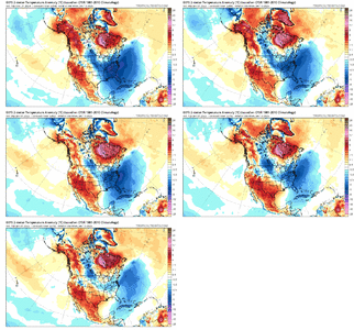
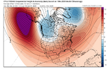
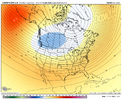
Here's what February usually looks like following Dec-Jan +PNAs in cold ENSO
No real surprises here.
View attachment 157667
View attachment 157666
Yeahhh these new CFS and CANSIPS forecasts for Feb aren’t too unreasonable.
Stormsfury
Member
There's absolutely no way we can get a reasonable monthly when we can't even handle multiple pieces of energy flying around causing operational output chaos in the MR. It's not called chaos theory without a good reason.
Honestly that looks like a Feb 2010 pattern correct? And not surprised as I strictly remember many including Webber always saying it's very difficult to sustain a -NAO and -EPO. I'll take it because the Pac pattern is what was leading to suppression concerns.
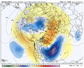
Honestly that looks like the Feb 2010 pattern correct? And I like it better. The strong -EPO would likely lead to suppression. There is still enough west coast ridging and a -NAO present to get the job done. And I strictly remember some saying, Webber included that it's hard if not impossible to sustain a -NAO and -EPO. One becomes dominant and destroys the other. Maybe an unpopular opinion but I'd rather have the -NAO as long as it doesn't become a block for Pac air.Fairly remarkable how the GEFS has completely collapsed the pacific pattern the past 36 hours...inside day 10 too.
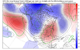
View attachment 158450
Definitely not, not even close. It could just be a pacific reshuffle and then reload.Honestly that looks like the Feb 2010 pattern correct? And I like it better. The strong -EPO would likely lead to suppression. There is still enough west coast ridging and a -NAO present to get the job done. And I strictly remember some saying, Webber included that it's hard if not impossible to sustain a -NAO and -EPO. One becomes dominant and destroys the other. Maybe an unpopular opinion but I'd rather have the -NAO as long as it doesn't become a block for Pac air.
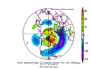
EPS softens the western ridge and renews the -NAO a bit at the end. Pac Jet is still reaching out to Hawaii. MJO not moving fastFantasy land but that ain’t warm…wouldn’t mind a big AK ridge that could build poleward.
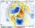
View attachment 158468
Every day of the run has below normal temperatures at 850 except one or two around Jan 6. And how many years have we groaned about having a West Atlantic Ridge? No sign of it here. Not bad


Showmeyourtds
Member
@deltadog03 is still around. I don’t believe he’s in the weather business anymore but he definitely drops by from time to time.Off topic question, but does anyone know what happened to Meteorologist Chris Simmons? He was a regular poster here, especially during winter..
Really miss his analysis
Last edited:
I believe he's in Florida now@deltadog03 is still around. I don’t believe he’s in the weather business anymore but he definitely drops by from time to time.
rburrel2
Member
D
Deleted member 609
Guest
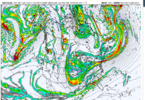
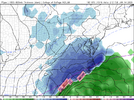
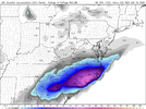
Round 3 incoming on the GFS...
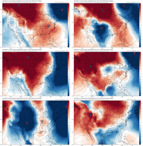
View attachment 158521
wow
Member
See that's what wave 2 should look like!
EDIT: That IS wave 2! Well, the part that backed out to the baja. It finally kicked east a couple of days later.
EDIT: That IS wave 2! Well, the part that backed out to the baja. It finally kicked east a couple of days later.
Ok, now I'm confused. Are we counting Monday 1/6 as a wave? (Wave#1) and then 1/11 as wave#2 and this (1/15) is wave#3?? <or> Are you trying to merge #2 and #3 here?See that's what wave 2 should look like!
EDIT: That IS wave 2! Well, the part that backed out to the baja. It finally kicked east a couple of days later.
Man the gfs and euro are both going for a strat pv split dropping one or the vorticies into the Hudson bay region. 
18z GFS keeps the +PNA through the end of the run. Trough in the east, of course. So that's good.
wow
Member
Right on the first part. But the piece of energy that broke off wave 2 and hung back eventually moved east and phased in with wave 3.Ok, now I'm confused. Are we counting Monday 1/6 as a wave? (Wave#1) and then 1/11 as wave#2 and this (1/15) is wave#3?? <or> Are you trying to merge #2 and #3 here?
I am still here. I live in FL now. I appreciate the comment.Off topic question, but does anyone know what happened to Meteorologist Chris Simmons? He was a regular poster here, especially during winter..
Really miss his analysis
packfan98
Moderator
I like what the 18z did with that baja kicker after the 10th storm. Talk about the stars aligning. If only
StoneColdHeel
Member
I like what the models do a lot of times 10 days or more out.I like what the 18z did with that baja kicker after the 10th storm. Talk about the stars aligning. If only
Pops
Member
Gonna probably be way colder than forecast low of 27 tonight already 32 ,feels like winter!!!
12z Euro AI Ensemble increases ridging into AK / Yukon days 10-15.


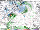
Just gandering around tonight at some MSLP maps. Maybe a shot at a nuke of a Nor’easter as the pattern makes an attempt to retreat around the 14th/15th and our -NAO gets jammed south with one last big height crash along the eastern seaboard. Crescendo storm on watch
NWMSGuy
Member

