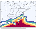
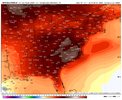
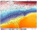
Is this the same look as what we just saw. If so no thanks.
-
Hello, please take a minute to check out our awesome content, contributed by the wonderful members of our community. We hope you'll add your own thoughts and opinions by making a free account!
You are using an out of date browser. It may not display this or other websites correctly.
You should upgrade or use an alternative browser.
You should upgrade or use an alternative browser.
Pattern Jammin January 2024
- Thread starter SD
- Start date
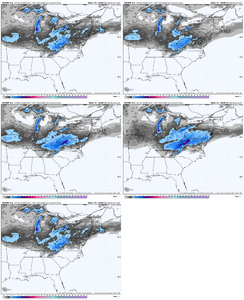
casually observing this but not very excited, precip appears diffuse and may have 2m temp issuesI think we have some VA folks on this site...this day 3 deal has trended nicely for central/N-VA
View attachment 142653
griteater
Member
Added some pattern thoughts for late Jan into Feb in the Winter Discussion thread
Correct me if I’m wrong but hadn’t it been since 1993 before Atlanta had the 3/1/2009 storm that they had gotten anything after Valentine’s DayProbably for the first half of Feb. I think it’s been 14 years since Atlanta had anything of note past Valentines Day.
No it’s not. The western ridge is taller and oriented a bit further east. This allows the PV to be oriented better to provide the cold push at a better angle into the southeast and it sets up good confluence over the NE. Also you can see an active STJ still in the picture.Is this the same look as what we just saw. If so no thanks.
Give me a deep trough axis over cape cod with a bombing low off the EC, a ridge axis over the lakes trailing and a southern stream wave over Austin texas
Down to 39 here cold air leakage underway
tennessee storm
Member
finally reached 15 degrees one clock report, been out shoveling the driveway out prett darn cold... going down to big zero for over night low
I’m convinced we’re gonna need a cut-off ULL in the Carolinas to save winter. That’s it that’s all I’ve got.
It’s plain cold out. 39 and cloudy, RAH’s got 18 tomorrow AM with wind chills bottoming out near 10F at sunrise
If we get it, it still isn't going to be good enough for some folksI’m convinced we’re gonna need a cut-off ULL in the Carolinas to save winter. That’s it that’s all I’ve got.
The 42.3F high at midnight last night is messing up my average potential, joking.
Afternoon high of 27.0F. The air is not that dry yet, currently 25.2F/12.8.
Edit: Forgot to add that I had .3" of rain, T of freezing rain, and T of snow.
Afternoon high of 27.0F. The air is not that dry yet, currently 25.2F/12.8.
Edit: Forgot to add that I had .3" of rain, T of freezing rain, and T of snow.
Last edited:
This might be the only time I beat you on an afternoon high. We topped out at 26.6 and are now down to 25.5.The 42.3F high at midnight last night is messing up my average potential, joking.
Afternoon high of 27.0F. The air is not that dry yet, currently 25.2F/12.8.
Hey I’ve got some kind of precip on campus. Anybody else in the triangle got any drizzle or anything? I’m not so certain I didn’t see a dying flake or pellet
I just added it to the list.I’m convinced we’re gonna need a cut-off ULL in the Carolinas to save winter. That’s it that’s all I’ve got.
I would’ve swore I saw some flakes around 3ish here. Even my iPhone alerted me.Hey I’ve got some kind of precip on campus. Anybody else in the triangle got any drizzle or anything? I’m not so certain I didn’t see a dying flake or pellet
Looks like I wasn’t crazy. Sleet reported in the same bands that have since moved eastI would’ve swore I saw some flakes around 3ish here. Even my iPhone alerted me.


