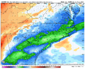
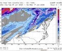
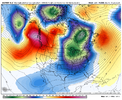
Nashville went from like 8-9" to 2"
-
Hello, please take a minute to check out our awesome content, contributed by the wonderful members of our community. We hope you'll add your own thoughts and opinions by making a free account!
You are using an out of date browser. It may not display this or other websites correctly.
You should upgrade or use an alternative browser.
You should upgrade or use an alternative browser.
Pattern Jammin January 2024
- Thread starter SD
- Start date
JLL1973
Member
im not impressed with any of the 12z model suites. Hope this is not the beginng of a trend
SnowwxAtl
Member
Let's see what the EPS say!im not impressed with any of the 12z model suites. Hope this is not the beginng of a trend
You could see the isobars sorta bending aroundMaybe we can trend this to a cold air damming event in the Carolinas. 50/50 low kinda sneaking in there View attachment 140897 if we continue to slow things down View attachment 140895
accu35
Member
- Joined
- Jan 5, 2017
- Messages
- 8,415
- Reaction score
- 9,890
There not all that bad, your gonna get different outlooks on runs. Today may show less precip and tonight or tomorrow it could go all Boom for your area. We still have plenty of time to approveim not impressed with any of the 12z model suites. Hope this is not the beginng of a trend
W
WSW
Guest

Delayed but not denied.
W
WSW
Guest
Cary_Snow95
Member
The block is breaking down. Trash
CNCsnwfan1210
Member
Is that a low off the Baja?
Sent from my SM-A136U1 using Tapatalk
Showmeyourtds
Member
Looks like it tries towards the end of the run for something, but @240, it's less than meaningless.
Honestly a more realistic depiction of what could occur than what was popping up last night
Honestly a more realistic depiction of what could occur than what was popping up last night
Looking like a very noticeable increase on the EPS in CAD areas, interesting
The thread is up guys.
Wintry - January 14-16th storm potential.
Let’s real this one in for the western and mid areas of the south. ??
southernwx.com
LukeBarrette
im north of 90% of people on here so yeah
Meteorology Student
Member
2024 Supporter
2017-2023 Supporter
Very good trend at this range, good catchLooking like a very noticeable increase on the EPS in CAD areas, interesting
griteater
Member
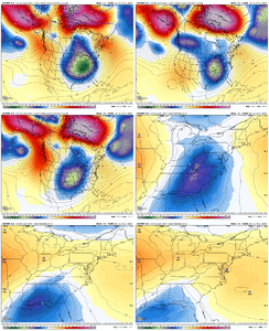
Don't think anything has really changed in the big picture as others have stated. We gotta push lobes of that TPV farther east in SE Canada in order to get the cold air boundary farther SE, then we may have a chance or 2 in the Jan 18-22 timeframe. Don't think this is a hog wild great pattern or anything, but it could produce given the amount of cold air positioned to the NW.This is 'dangerous' long range type stuff of course, but yeah, high chance that we have a big cutter Jan 12-13. If it's going to be wintry with the next storm after that in the Jan 15-16 timeframe, I'd say it favors the S AR to E TN area (along that line, and a bit south and north of that line). Jan 18-20 is the timeframe that I think offers the most potential for areas deeper into the southeast.
olhausen
Member
Nice brent! Supposedly getting our first flakes of the season later tonight. Not as much as you but it’ll be nice to just see some flakes flying.
packfan98
Moderator
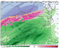
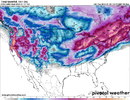
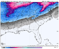
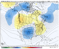
Please post in the new dedicated STORM THREADEPS with a stout wedge signal. Classic low placement as well on the mean. Still plenty of spread however View attachment 140914View attachment 140915View attachment 140916

