• Hello, please take a minute to check out our awesome content, contributed by the wonderful members of our community. We hope you'll add your own thoughts and opinions by making a free account!

Tropical Hurricane Nicholas

They are talking about moisture from this getting pulled up here this week, from this!
 
Ummmm...can Houston handle this much water?

awkc5k.png
 
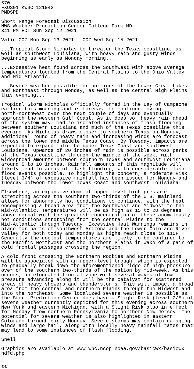
Short Range Forecast Discussion
NWS Weather Prediction Center College Park MD
341 PM EDT Sun Sep 12 2021

heavy rain ahead
of the system
may lead to isolated instances of flash flooding
between southern Louisiana and much of the Texas coastline this
evening
. As Nicholas draws closer to southern Texas on Monday,
additional round of heavy rain and increasing winds are forecast
across the lower and middle Texas Coast. By Tuesday, impacts are
expected to expand into the upper Texas Coast and southwest
Louisiana. Upwards of 20 inches of rain is possible across parts
of the Texas coastline through the middle of the week, with
widespread amounts between southern Texas and southwest Louisiana
around 5 to 10 inches. Rainfall amounts of this magnitude will
likely lead to areas of flash flooding, with considerable flash
flood events possible. To highlight the concern, a Moderate Risk
(level 3/4) of excessive rainfall has been issued for Monday and
Tuesday between the lower Texas Coast and southwest Louisiana.

 
IF the 18Z Euro were to closely verify, Houston would have a huge flooding problem: this shows 12-20"+ amounts right in the city with most of this within just a 48 hour period and it still raining due to a near stalled Nicholas:


ecmop_18_ps_gc_hr-0072_0090.png

ecmop_18_h500_gc_h_0090.png
 
505
WTNT34 KNHC 130430
TCPAT4

BULLETIN
Tropical Storm Nicholas Special Advisory Number 4
NWS National Hurricane Center Miami FL AL142021
1130 PM CDT Sun Sep 12 2021

...NICHOLAS RE-FORMS TO THE NORTH AND STRENGTHENS...


SUMMARY OF 1130 PM CDT...0430 UTC...INFORMATION
-----------------------------------------------
LOCATION...24.8N 96.3W
ABOUT 115 MI...190 KM NE OF LA PESCA MEXICO
ABOUT 95 MI...150 KM SE OF MOUTH OF THE RIO GRANDE
MAXIMUM SUSTAINED WINDS...50 MPH...85 KM/H
PRESENT MOVEMENT...NNW OR 340 DEGREES AT 12 MPH...19 KM/H
MINIMUM CENTRAL PRESSURE...1008 MB...29.77 INCHES
Center reformed north and strengthened.
 
NHC : Special off hour advisory. Landfall has been sped by 12 hours. Wow. How do you prepare for that?
 
If gfs is right we are gonna need an inland thread soon for tornadoes/flooding for Alabama, Mississippi, Tennessee, North Georgia, upstate SC and western NC.
 
Back
Top