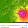
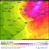
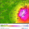
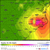
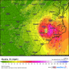
Most models are not west of I 95 though.....most are along it, I mean right on it, but that's as far west as any of them go, well except the latest 3k NAM which was like eastern Wake but thats it, maybe 20 miles west of I 95 lol....the further east any models have gone now is the Ukie and HMON which are both more like Cape Fear then just inland of ILM and up over Kinston, Greenville etc....thus the I-95 to Hwy 17 corridor....
So the NHC is literally right on top of the incredibly tight and in agreement modeling, did I mention that it is TIGHTLY clustered modeling.....the chances this goes anywhere but 30 miles either side of the line tramadoc posted at this point is fairly low...there is a high chance that if this thing does not self destruct in the next 24 hrs that the entire eastern half of NC will experience at least TS force gust and a good 100 mile wide swatch will see gust 50-80 mph and thats if it comes in without getting any stronger.....


