I kind of agree. I think it may end up a little farther west, though. We've been in a pattern of repeating ridging building in over the SE. That may not happen so vigorously this time, but I'm giving that a little more weight right now. Maybe landfall western panhandle and then up through AL and TN, then kicked right by an incoming trough.Incoming troughs make this the most likely outcome. The upstate and western and central NC would get rocked in that setup.
-
Hello, please take a minute to check out our awesome content, contributed by the wonderful members of our community. We hope you'll add your own thoughts and opinions by making a free account!
You are using an out of date browser. It may not display this or other websites correctly.
You should upgrade or use an alternative browser.
You should upgrade or use an alternative browser.
Tropical Hurricane Ian
- Thread starter severestorm
- Start date
-
- Tags
- tropical

12z Euro has a high end Cat 1 into the western Florida pensunla.
?  (9).png")

HWRF/HMON are further west of the Euro/GFS.


Brent
Member
Some of the model runs with this storm ? Tampa is a dreaded hurricane scenario .png")
- Joined
- Jan 5, 2017
- Messages
- 3,802
- Reaction score
- 6,051
It's only a Cat 1, though... It's not a major on the Euro. It appears to struggle with intensification, but it's way too early for those details.Some of the model runs with this storm ? Tampa is a dreaded hurricane scenario View attachment 121641
iGRXY
Member
Ughhhh a 957 mb hurricane is not a cat 1….. you’re pushing major hurricane at that point and as we’ve seen for better part of half a decade, these models and the NHC really struggle with intensity has hurricanes have done the opposite and gotten stronger the closer they approach the coast.
severestorm
Member
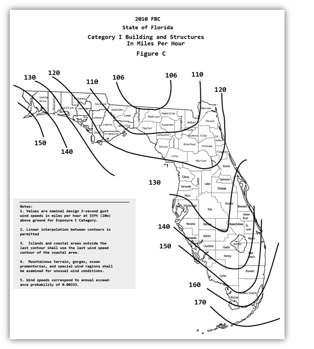
Keep in mind, some structures are regulated to withstand hurricane force winds.
Brent
Member
Ughhhh a 957 mb hurricane is not a cat 1….. you’re pushing major hurricane at that point and as we’ve seen for better part of half a decade, these models and the NHC really struggle with intensity has hurricanes have done the opposite and gotten stronger the closer they approach the coast.
Yeah and never look at the globals for intensity either
Henry2326
Member
Speaks for itself....

Post of the day IMHO
Like Shane said. A very interesting situation developing. Lots of potential possibilities here. If it makes it too the GOM I woukd
Favor the central and eastern GOM at this moment***. Major bust potential and nada to central Mexico. We shall see.
I could see a major in the GOM
Favor the central and eastern GOM at this moment***. Major bust potential and nada to central Mexico. We shall see.
I could see a major in the GOM
Itryatgolf
Member
Be vigilant for the next week with this system. It has potential to become a monstrous hurricane. Drought busting for some also imo
Brent
Member
Yeah the ceiling is definitely high here. Nearly every track near the US is a major hurricane 
Some tracks to the west possible for sure, but EPS is firing warning shots for sureYeah the ceiling is definitely high here. Nearly every track near the US is a major hurricane View attachment 121643
This one is going into the gulf , and will get shunted west into Mexico! The trough will be weaker than modeled and miss it, it’ll limp West, imo
Brent
Member
Almost certainly gonna be named Hermine. One name off the infamous I list ?
Henry2326
Member
What I can see from EPS Is the weaker ones is further south and west and stronger members are in the gulf/US. With ocean so warm I think this one will be strong and further north.Yeah the ceiling is definitely high here. Nearly every track near the US is a major hurricane View attachment 121643
Henry2326
Member

Yeah… especially as Fiona pulls away and her outflow becomes less of an issue. Those waters are pretty much untapped this year and have a lot of heat to fuel a stormWhat I can see from EPS Is the weaker ones is further south and west and stronger members are in the gulf/US. With ocean so warm I think this one will be strong and further north.
One thing to consider, the Euro is rapidly weakening the storm close to landfall due to shear and dry air. Absolutely smoked.
Very possible for sure. But last run it didn’t.One thing to consider, the Euro is rapidly weakening the storm close to landfall due to shear and dry air. Absolutely smoked.
iGRXY
Member
Until a hurricane approaching land actually starts to weaken, that isn’t a believable solution. The opposite is likely to happen. We are in the peak of hurricane season right now with water temps in the upper 80’s across most of the gulf and western Caribbean. If it makes it to the gulf, you can bet it’s going likely going to explode in intensityOne thing to consider, the Euro is rapidly weakening the storm close to landfall due to shear and dry air. Absolutely smoked.
Agreed… all of this talk of dry air and trough interaction are simply details that won’t get ironed out for over a week if there is a stormUntil a hurricane approaching land actually starts to weaken, that isn’t a believable solution. The opposite is likely to happen. We are in the peak of hurricane season right now with water temps in the upper 80’s across most of the gulf and western Caribbean. If it makes it to the gulf, you can bet it’s going likely going to explode in intensity

GFS further west once again. Now has it making landfall in the western Florida panhandle as a high end Cat 2.
How is it not believable? Both Euro and GFS show a nasty TUTT across the northern Gulf with very dry air across the entire SE and western gulf. Now it may change, but it’s definitely worth mentioning unless we all decide to disregard all possible solutions and jump on the hype train.Until a hurricane approaching land actually starts to weaken, that isn’t a believable solution. The opposite is likely to happen. We are in the peak of hurricane season right now with water temps in the upper 80’s across most of the gulf and western Caribbean. If it makes it to the gulf, you can bet it’s going likely going to explode in intensity

Visiting the panhandle after Michael showed just how good the modern building codes are. The recently built houses stood like a champ compared to anything with age.Keep in mind, some structures are regulated to withstand hurricane force winds.
Code red. 70/901. Central Tropical Atlantic:
A tropical wave is producing shower and thunderstorm activity a few
hundred miles east of the Windward Islands. The system continues to
show signs of organization and it will likely become a tropical
depression within the next two or three days. The disturbance is
forecast to move west-northwestward across the southern Windward
Islands late Wednesday and then move toward the central Caribbean
Sea late this week. Interests in the Windward Islands should closely
monitor the progress of this system as heavy rainfall and gusty
winds could affect these islands beginning on Wednesday.
* Formation chance through 48 hours...high...70 percent.
* Formation chance through 5 days...high...90 percent.
Yeah have to think with the setup this system would start to elongate N/NE and potentially get to a point where most of the precip is north of the center. May even be one of those big truck tire eyes with an open eye wall southwest and southHow is it not believable? Both Euro and GFS show a nasty TUTT across the northern Gulf with very dry air across the entire SE and western gulf. Now it may change, but it’s definitely worth mentioning unless we all decide to disregard all possible solutions and jump on the hype train.
View attachment 121648
It must have read my post from earlier. ?
GFS further west once again. Now has it making landfall in the western Florida panhandle as a high end Cat 2.
severestorm
Member
Where waldo go?

Gonna be slow to develop. Prob until mid carrib
I definitely could see that. Now I do think if this takes a hard right NE into FL like a good number of ensemble members show it could stay south of the TUTT and the chance of it being stronger is much higher.Yeah have to think with the setup this system would start to elongate N/NE and potentially get to a point where most of the precip is north of the center. May even be one of those big truck tire eyes with an open eye wall southwest and south
I agree with that as well. I think the further east in the GOM the stronger this is. And if it goes charley esk….. could be a nasty right hook for me down hereI definitely could see that. Now I do think if this takes a hard right NE into FL like a good number of ensemble members show it could stay south of the TUTT and the chance of it being stronger is much higher.
So we got about 5-6 days before we get close to an idea? I love model watching myself as it’s been a slow season!
Taylor C
Member
Looks like the Invest is on a path to interact a lot with the mountainous terrain of South America’s coastline.

It's more stronger than the 12z GFS and is further west.