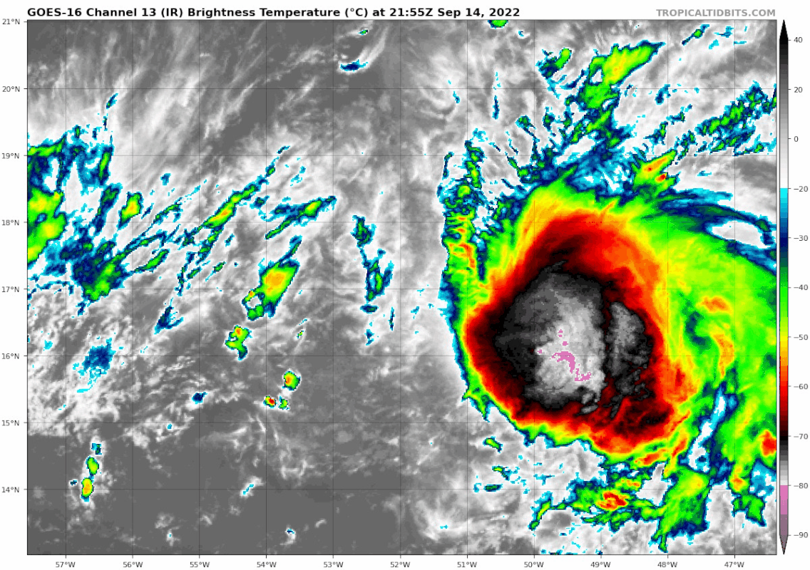
Just designated this morning.
1. Central Tropical Atlantic:
Conventional and Low-earth orbit satellite data indicate that
showers and thunderstorms associated with a tropical wave located
about midway between the west coast of Africa and the Windward
Islands have increased and become better organized since yesterday
afternoon. Further development of this system is possible and a
tropical depression could form over the next several days while it
generally moves westward to west-northwestward over the central
tropical Atlantic and approaches the Leeward Islands on Friday.
* Formation chance through 48 hours...low...30 percent.
* Formation chance through 5 days...medium...40 percent.


.jpg")


