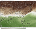
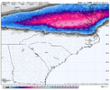
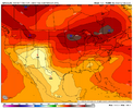
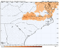
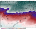
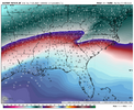
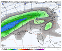
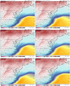
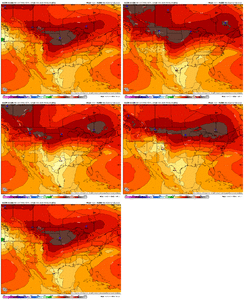
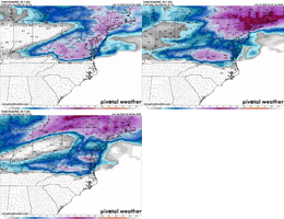
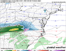
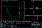
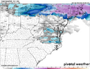
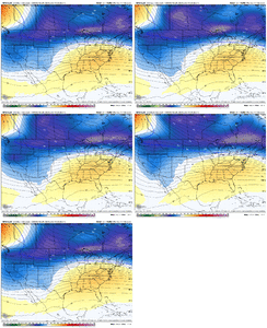
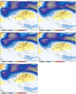
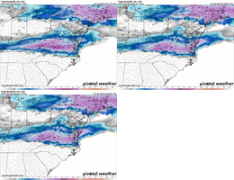
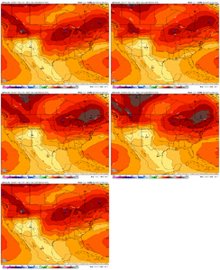
There's still a little time to trend a stronger CAD to feed the colder/dryer air up in Pennsylvania. More wishful thinking right now, but the colder air is not that far away and we're already close with the surface temps.Problem the cold isn't deep...it's 32F in northern VA and 33 in Greensboro. If it was mid 20's in northern VA we probably could have a real problem on our hands.
For Raleigh, we haven't had an impactful ice storm since Dec 2002. We've had light glazing events time to time. But maybe points further west than Raleigh could be impacted.
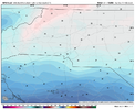
View attachment 167999
-
Hello, please take a minute to check out our awesome content, contributed by the wonderful members of our community. We hope you'll add your own thoughts and opinions by making a free account!
You are using an out of date browser. It may not display this or other websites correctly.
You should upgrade or use an alternative browser.
You should upgrade or use an alternative browser.
Pattern February 11-13 2025
- Thread starter SD
- Start date
NBAcentel
Member
Yeah I see what kylo is saying, if we had a shot at trending to legit freezing rain event then there would more a more sharper cold feed with say 20s just to our north that could get pulled down and trend down into NC, but it lacks somewhat in this setup, low 30s extend all the way into mid/northern VA so there’s not much wiggle room, best case is fringe areas trend around 32/31 but there’s not much to drag down any legit cold air, and the CAA associated with the CAD happens as precipitation moves in which isn’t ideal
There's still a little time to trend a stronger CAD to feed the colder/dryer air up in Pennsylvania. More wishful thinking right now, but the colder air is not that far away and we're already close with the surface temps.
Yeah I see what kylo is saying, if we had a shot at trending to legit freezing rain event then there would more a more sharper cold feed with say 20s just to our north that could get pulled down and trend down into NC, but it lacks somewhat in this setup, low 30s extend all the way into mid/northern VA so there’s not much wiggle room, best case is fringe areas trend around 32/31 but there’s not much to drag down any legit cold air, and the CAA associated with the CAD happens as precipitation moves in which isn’t ideal
I guess HP pressure could trend stronger and we wring every bit of cold out of it. That's possible.
It is looking Iike a mess for the I 81 corridor Wytheville to Roanoke. Front end thump of snow, then freezing rain. Then plain rain in the following days ewwww.
SnowNiner
Member
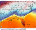
It's dangerous. These single digits dews just north of the mason Dixon are asking to get pushed south View attachment 168001
Wow, that’s why it’s not cold enough, the cold dry air is way up there.
18z GFS is .70 + freezing rain from northern Randolph County north And west up into sw va. Plenty snow state line an north
lexxnchloe
Member
It did trend south
Cad Wedge NC
Member
Upper levels look good however the 2m temps are in the mid and upper 30's. If it were colder at the surface, this would be a good front end thump for a lot of NC.
JHS
Member
This thing may very well end up being a lot like the Feb 17-19, 1989 ice and snowstorm. That one buried much of VA with snow while western and northern NC and northwest SC got ice. It's not there yet, but it is not too far away.
NBAcentel
Member
NBAcentel
Member
Icon went south. Noticeable changes with confluence.
lexxnchloe
Member
Enough for northern NC?Icon went south. Noticeable changes with confluence.
Check out hour 84 RDPS. I cant post from phone. You in a county on state line, SW VA, you starting to lick chops for snow. Another tick,ill be getting ancy with frzng rain. 32 degrees dont stir the stomach. But another bump down, will be eyebrow raiser.
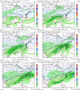
That 1032 HP is popping up on VA/MD state line early Tuesday on some of latest guidance. If moisture gets in here 6 hours earlier,gonna lock in a stronger,colder wedge.
Slides up into PA latter in day
Edit. Think It was 0z nam I just noticed. Hour 84,but nam is a nudge latter with moisture
Slides up into PA latter in day
Edit. Think It was 0z nam I just noticed. Hour 84,but nam is a nudge latter with moisture
Snowing NC 40 north Mon on GFS. 1055 HP coming down western plains
NBAcentel
Member
NBAcentel
Member
It's actually trying hard to get there. GFS was a touch colder this run, it really is so close it is almost infuriating. Like when your team comes back from 20 down to lose on a last second shotIf you could get those blues aka confluence south of Chicago and into Ohio, NC is cooking. Thats how close this setup isView attachment 168040
Half a foot warren / halifax county 0z gfs clown. There you go Met
The sun storm exiting NE, may be whats helping confluence better
You stealing DC snow, one more tick, we win and they will get scraps
WolfpackHomer91
Member
You stealing DC snow, one more tick, we win and they will get scraps
Why does it seem like it’s only trending SE? Like Triangle getting involved and Roxboro but Statesville / Hickory and areas 50ish miles from border not really changing?
Sent from my iPhone using Tapatalk
CMC south as well, not enough yet but much better than 12z.
NBAcentel
Member
Eh this is really close now. One more colder trend and that’s ZR for much of 85/ north CLT metroWhy does it seem like it’s only trending SE? Like Triangle getting involved and Roxboro but Statesville / Hickory and areas 50ish miles from border not really changing?
Sent from my iPhone using Tapatalk
Backdoor front, timing. Look at kylo images of HP, press. Comes down clockwiseWhy does it seem like it’s only trending SE? Like Triangle getting involved and Roxboro but Statesville / Hickory and areas 50ish miles from border not really changing?
Sent from my iPhone using Tapatalk
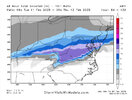
FWIW, the GEFS has dropped the 2" mean into northern NC

