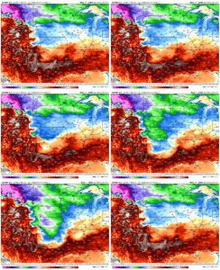
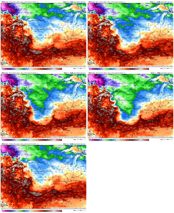
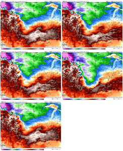
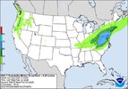
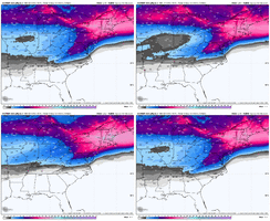
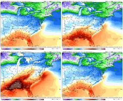
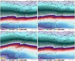
Yep 0z Icon is a big ole fat Ice storm in cad. Amazing how all models lined right up together today staring with 12z euro suite. This will mix all the way up past DC. Trending toward an amped up storm right through KY Coalfields. Guess we will see if we can sneak one out after this. Got about a 7-10 day window with mjo favorable. But its getting late outside elevation post Valentines day.I think this is heading where I was hoping it wouldn’t….an ice storm for the CAD areas.
Was hoping for a nice hit before spring rolls in.
Atleast the ole NW trend came back. Amazing how that worked out this year lol.

