Blue_Ridge_Escarpment
Member
Dang I expected it to look much worse than this based on the comments.
Dang I expected it to look much worse than this based on the comments.
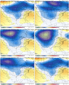
Call me a weenie... but I think that the 12z Euro has some weird initialization/computer issues going on. look at this map??? Something isn't right over the Rockies and great plains... the surface pressure map is screwed up too.
View attachment 167780
Looks almost like the model is picking up on gravity wavesCall me a weenie... but I think that the 12z Euro has some weird initialization/computer issues going on. look at this map??? Something isn't right over the Rockies and great plains... the surface pressure map is screwed up too.
View attachment 167780
How much worse can it get lol. I also think it's comical that in this storm everyone is using 10:1 maps all of a sudden. #ptypeProblems
View attachment 167785
We should have proposed Tariffs on Europe instead of NA. Where we went wrong lolBut we got GFS/ICON/CMC on our side? That's not bad?
Kind of funny...it was flipped yesterday and yes I would still prefer to have Euro than the other 3 combined.
It looks fine for day 7-8...verbatim looks like GFS/CMC blend.And just as you'd expect, the Euro AI is flatter/colder... can't make this stuff up.
And just as you'd expect, the Euro AI is flatter/colder... can't make this stuff up.
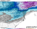
We would've been digging out feet of snow if half of this could've happened in JanuaryThis is the most rain being depicted since Helene… it’s a nonstop barrage of cold rain View attachment 167787View attachment 167788
And just as you'd expect, the Euro AI is flatter/colder... can't make this stuff up.
Also, we have a strengthening block next 2 weeks...if we had a dying block then yeah a violent move north would be a concern.
View attachment 167793View attachment 167794
End of run, looks like it wasn't done also counts all frozen as sn@RBR71 do you have the 12z MOGREPS?????

The backside deformation (?) band looks interesting. Hard to tell with the limited maps it has, but that could be a situation where it wraps cold air back around so places that are mixing with sleet / ZR go back over to snow, too.
The great and powerful AI doesn’t foldYeah, that's great and all, but it's essentially by itself. Sometime in the next 2 days it will fold. That's my guess.


