Why not
-
Hello, please take a minute to check out our awesome content, contributed by the wonderful members of our community. We hope you'll add your own thoughts and opinions by making a free account!
You are using an out of date browser. It may not display this or other websites correctly.
You should upgrade or use an alternative browser.
You should upgrade or use an alternative browser.
Wintry Feb 6-8 2022 Winter Potential
- Thread starter SD
- Start date
LukeBarrette
im north of 90% of people on here so yeah
Meteorology Student
Member
2024 Supporter
2017-2023 Supporter
Time to reel in a Roanoke CAD classic…..?
Two events for the South and Southeast in the next 7 days. Page flipping back and forth...again! CAD for all. Buckle up.
I’m skiing at Sugar Mtn on February 5th, so this could be…interesting. ⛷
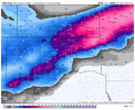
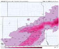
ICON is about 10” of snow here. Nice.
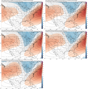
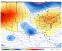
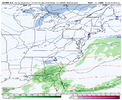
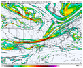
That's trending the wrong way for a good storm. Need that trough to be getting sharper and further south and west.Like to see that ridge behind the trough get stronger, this results in more descent behind the trough and likely a better Sfc high pressure View attachment 111760
Yep. Result is a stronger sfc high this GEFS run in the NE, very impressive for a smoothed ensemble mean, it just looks like the gefs shears the wave and lacks qpfLike to see that ridge behind the trough get stronger, this results in more descent behind the trough and likely a better Sfc high pressure View attachment 111760
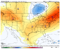
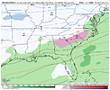
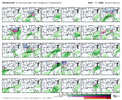
Actually, while that wouldn’t hurt, it’s not really going the wrong way and the trough overall has been bouncing around in strength/sharpness. the ridging behind and negative vorticity advection behind the cold but progressive trough is trending stronger, which results in more descent, and has trending the sfc high to be much stronger in the last couple of gefs runs. Great if your in the Carolinas. You can see on the 48 hour trend that we’re raising heights around/east of GLs and associated sfc high pressure. No bad trends hereThat's trending the wrong way for a good storm. Need that trough to be getting sharper and further south and west.
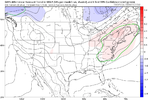
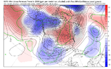
CMC has a N/S trough in Canada that causes LP around the GLs, that’s a issue when N/S is progressive as well
Z
Zander98al
Guest
Bruh I just want some snow, we all know the scenario here though. A big run of snow for everybody and then slow trend to nothing for everybody ?
olhausen
Member
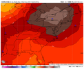
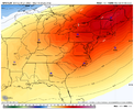
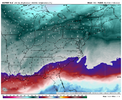
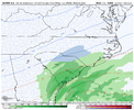
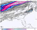
Euro really builds in some strong CAD .. very dry too dews we’re running in the single digits for a lot of people in the CAD regionsStill not a bad look View attachment 111793View attachment 111794
whatalife
Moderator
Flotown
Member

