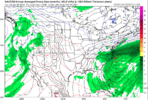
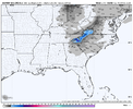
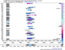
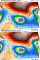
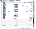
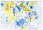
Since the 2nd half of Feb is coming into view on the models breaking this out into its own thread. Hopefully this changes our luck or we can write a nice eulogy for it at least
-
Hello, please take a minute to check out our awesome content, contributed by the wonderful members of our community. We hope you'll add your own thoughts and opinions by making a free account!
You are using an out of date browser. It may not display this or other websites correctly.
You should upgrade or use an alternative browser.
You should upgrade or use an alternative browser.
Pattern FEB 3-6 2024 System
- Thread starter SD
- Start date
- Status
- Not open for further replies.
iGRXY
Member
CltNative90
Member
I’ll be about 30 miles north of there as the crow flies at about 3500 feet, so hoping I chose the right weekend when I scheduled back in December.EPS fairly bullish for AVL still...I do think someone sees snow from this day 6 deal
View attachment 144380
Still think we have a long ways to go with this one and interested to see which model wins the battle. Even though I’ll be in the mountains, I’ll still take it as a win if areas to the east see their first flakes in two years and I’m stuck high and dry.
Last edited:
ragtop50
Member
RAH afternoon comments:
It still looks like the ridge may hold over much of central NC as the low
skirts to the south. The best chance for precipitation will be as
the low moves through the Southeast and along the Southeast US Coast
Sun night through Mon night. For now, will keep all precipitation
liquid. However, changes to the track/timing of the low or strength
of the ridge could impact the chances, amounts, and types of
precipitation with this system. As such, while not ruled out
completely, confidence remains too low to include wintry precip at
this time. Highest amounts/chances expected along the SC/NC border,
with the possibility that much of the area could stay dry if the
track of the low continues to trend southward.
severestorm
Member
Asheville will be too warm IMO. Will need to gain elevation to see some flakes.EPS fairly bullish for AVL still...I do think someone sees snow from this day 6 deal
View attachment 144380
Been watching the models. Don't think this is the one. Crossing fingers for later in the month.
NCSNOW
Member
- Joined
- Dec 2, 2016
- Messages
- 9,186
- Reaction score
- 18,036
You are sitting good for the 3rd week of Feb holly Grail pattern. It will mimick what we saw just a couple weeks back.Been watching the models. Don't think this is the one. Crossing fingers for later in the month.
Would you mind posting this for Boone?EPS fairly bullish for AVL still...I do think someone sees snow from this day 6 deal
View attachment 144380
severestorm
Member
Weaker and 540 line is gone.
You talking about the ss low? It's a tad weaker but I wouldn't focus too much on that right now.Weaker and 540 line is gone.
severestorm
Member
Where the cold air with the 540 line in Maine and Canada.You talking about the ss low? It's a tad weaker but I wouldn't focus too much on that right now.
We're all looking for the cold air. I don't think anyone has found it yet. But I promise you it won't be from the southern stream. We need to be looking at the evolution of the ridge and the energy around the northeast low. You need a handshake, merger, integration (whatever you want to call it) between the 50ish/50ish and the southern low in order to draw cold air into the system and the area.Where the cold air with the 540 line in Maine and Canada.
Losing the deeper southern wave is actually good here the icon and cmc were the most wound up and northWe're all looking for the cold air. I don't think anyone has found it yet. But I promise you it won't be from the southern stream. We need to be looking at the evolution of the ridge and the energy around the northeast low. You need a handshake, merger, integration (whatever you want to call it) between the 50ish/50ish and the southern low in order to draw cold air into the system and the area.
rburrel2
Member
GFS actually is colder aloft especially with the CAA on the backside closer to the CMC at least
Blue_Ridge_Escarpment
Member
850s much colder this run!
- Status
- Not open for further replies.

