NWS Raleigh had a nice writeup on itIf that’s the storm I’m thinking about, it was a core memory for me here in the upstate. It’s about as bad as it can get winter wx wise.
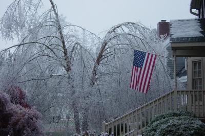
The Devastating December 2002 Ice Storm
This historic ice storm crippled central North Carolina and resulted in a multi-million dollar disaster.
 storymaps.arcgis.com


