Storm5
Member
I'll take it at this lead and ill believe the press won't be as strong as advertised
I'll take it at this lead and ill believe the press won't be as strong as advertised
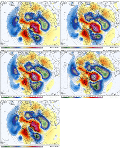
Furthest I could go back was from a run on Tuesday. It was better than the regular GEFS, but not as good as the WeatherNextIf you are able to check, what did the Hybrid GEFS look like a week out for this current storm?
Haha you might actually be the only one.Am I the only one concerned that it’s so suppressed at this point? I was feeling kinda confident yesterday this may be the one but idk
Am I the only one concerned that it’s so suppressed at this point? I was feeling kinda confident yesterday this may be the one but idk
Seems like the gfs is the furthest south from the other modelsGFS is gonna crush it with the baroclinic zone so far south. That needs to lift north.
That's what I'm used to seeing.Seems like the gfs is the furthest south from the other models
lol so at what point do we being to be concerned with the suppression?Haha you might actually be the only one.
Am I the only one concerned that it’s so suppressed at this point? I was feeling kinda confident yesterday this may be the one but idk
But that’s what we want in a great patternGreat patterns dont have to produce a great snowstorm
Absolutely. We just cant seem to find that winning connection no matter what the indices areBut that’s what we want in a great pattern
Great patterns dont have to produce a great snowstorm
I’m not worried at the moment. Those 1040s and 1050s close by will start to modify as we get closer to the event, to allow more of a north trend.The original threat is pretty much on life support. The AIGFS storm just lets the NS trough seen on the other models, dig and Amp.
View attachment 188823

If this trends nw, will more moisture fill in across ms, al, ga?I really like where we’re at
Sent from my iPhone using Tapatalk
If this trends nw, will more moisture fill in across ms, al, ga?
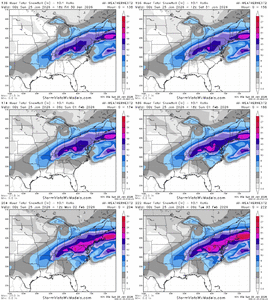
3+ inch max in havelock 7 days out is a great signal
