Dewpoint Dan
Member
I have a feeling you will be staying up late tonight.
I have a feeling you will be staying up late tonight.

Is that a cold look for up my way also? I’ve learned we don’t seem to have big variances from highs to lows!? A lot of 30-35 degree highs with 20-25 degree lows. Seems odd to meThe downstream atmospheric traffic jam over Europe that kickstarts the -NAO in the extended begins to develop by day 5 on most NWP models

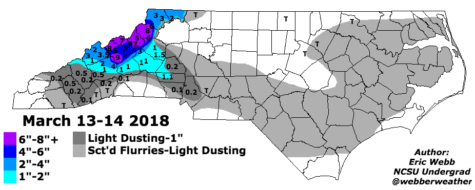
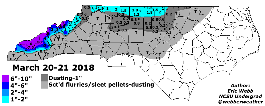
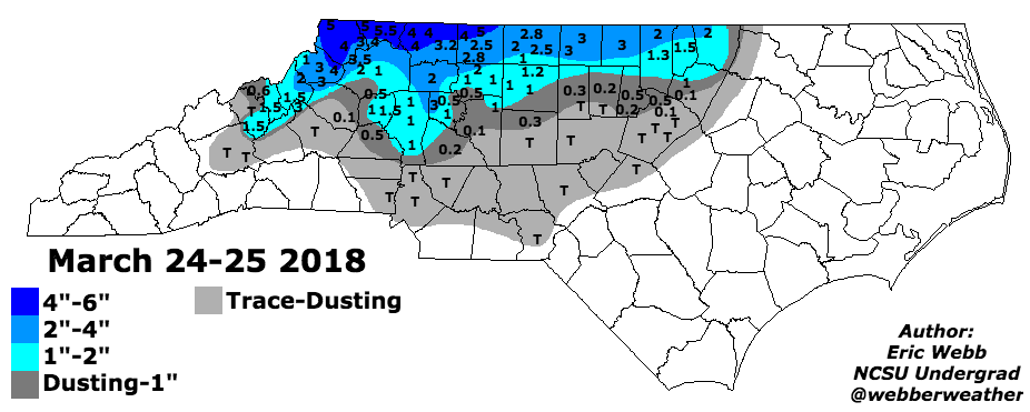
Feels like these 2 patterns could be somewhat relatable, especially if the WPAC typhoon shorten wavelengths View attachment 97390View attachment 97391

We Never failed to Miller B in a -EPO in the 2010s, hopefully it can work out
Is that a cold look for up my way also? I’ve learned we don’t seem to have big variances from highs to lows!? A lot of 30-35 degree highs with 20-25 degree lows. Seems odd to me
That March 2018 pattern was epicWe got nickeled & dimed to death in mid-late March 2018. With better late Dec climo, I'm sure one or more of these are big dogs.


A -pna/-nao infused with legit cold air could get really fun if you are on the right side of the likely gradient that sets up
What we need to hope for is that cutoff retrograding to the GOA and it pumping a +PNA and it rexing, pumping the -EPO, sort of like this (yes this was May 2020 lol)Without the PNA would we truly get legit cold air released into the east? I don't think so. It would seem like mostly the cold air from -NAO comes from SE Canada confluence. I guess I just want the true polar cold up in NW Canada to finally release down, not the cold in NY to come down the wedge. Just can't get excited about SE ridge and hopeful Miller Bs wedges. They really haven't worked for a long time imby. But I guess it's not what we got now at least.
Without the PNA would we truly get legit cold air released into the east? I don't think so. It would seem like mostly the cold air from -NAO comes from SE Canada confluence. I guess I just want the true polar cold up in NW Canada to finally release down, not the cold in NY to come down the wedge. Just can't get excited about SE ridge and hopeful Miller Bs wedges. They really haven't worked for a long time imby. But I guess it's not what we got now at least.
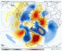

Stronger okhotsk low, this should be interestingEPS looks like it's gonna show even more -EPO this run. Wave pattern is more amped near Japan
Stronger okhotsk low, this should be interesting
You are correct… the problem with Miller As for CLT metro is just how sharp that cut off is on the NW edge. You can go from 4-6”+ to nothing in a matter of 10-15 miles, and usually CLT metro is on the wrong side of that. Every now and then a January 2002 will happen, but I would much rather take my chance with a Miller BTypically means more mixed precip, but our areas do far better in Miller B setups snow wise as well
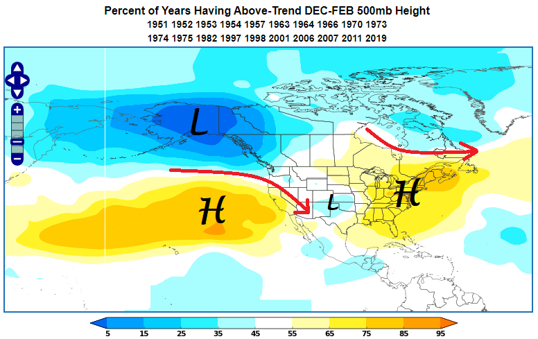
 www.worldclimateservice.com
I remember that pattern in March 2018 and would definitely take my chances with it in mid to late DecemberFeels like these 2 patterns could be somewhat relatable, especially if the WPAC typhoon shorten wavelengths View attachment 97390View attachment 97391
Meow we're probably not gonna get a big snowstorm underneath a 582 decameter ridge. ☹Woof

Meow we're probably not gonna get a big snowstorm underneath a 582 decameter ridge. ☹


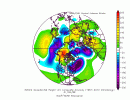
Warm pattern? overdoing? In the same sentence?EPS may be overdoing the warm pattern after the Solstice.

