-
Hello, please take a minute to check out our awesome content, contributed by the wonderful members of our community. We hope you'll add your own thoughts and opinions by making a free account!
You are using an out of date browser. It may not display this or other websites correctly.
You should upgrade or use an alternative browser.
You should upgrade or use an alternative browser.
Pattern December to Remember
- Thread starter SD
- Start date
NoSnowATL
Member
.
Whats his track record?If BAMs right, I’ll be dead in about 15 days!??
bigstick10
Member
I find this hard to believe, my yard is a sponge.Yep and long term implication could be problematic, already is to some degree

Ok. I mean this has really been discussed plenty of times, the map is more or less broad brushing areas based off many factors not just recent rainfall. In the SE when so much rain is convective you will certainly have spots with more and other's with less, the map isn't going to pin down each spot like that. Overall, it's just catching up with the actual drought up here, rivers, lakes, creeks, ponds are lowI find this hard to believe, my yard is a sponge.
SnowNiner
Member
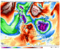
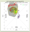
January is in sight! Annnnnnnd.........it's the same as December. ? Seriously persistent Aleutian ridge pattern. Maybe a result of the MJO not moving forward. Really need to have the MJO move and stop messing around in 7 (EPS is worse). Don't think we see much real change in the pattern until tropical forcing switches things up.



Batting 1000, on being wrong!.
Whats his track record?
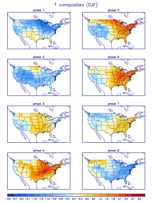
Phase 7 mjo is decent in jan if I’m not mistakenJanuary is in sight! Annnnnnnd.........it's the same as December. ? Seriously persistent Aleutian ridge pattern. Maybe a result of the MJO not moving forward. Really need to have the MJO move and stop messing around in 7 (EPS is worse). Don't think we see much real change in the pattern until tropical forcing switches things up.

View attachment 98152
JB says when that super typhoon gets out of the way the MJO will move... ? ?
packfan98
Moderator
D
Deleted member 1449
Guest
I wouldn't purchase the casket just yet!If BAMs right, I’ll be dead in about 15 days!??
D
Deleted member 1449
Guest
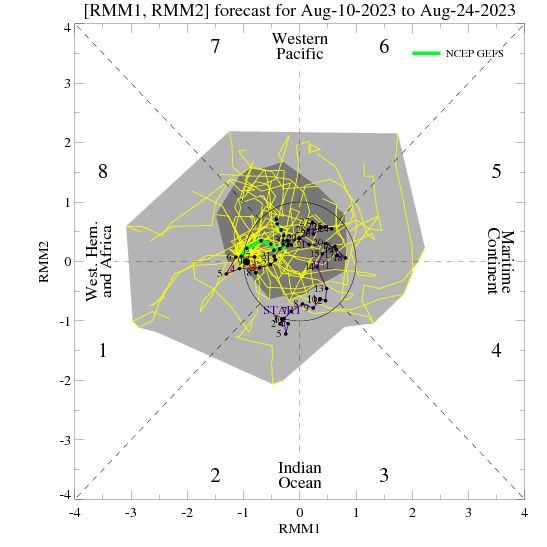
This is what I meant by the MJO possibly moving in the wrong direction in the short term. And can we really say that MJO phase 7 is a lock for cold in January?


D
Deleted member 1449
Guest
Either way, I still don't see much of a reason to be optimistic about the next two weeks.
Webberweather53
Meteorologist
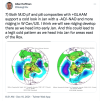
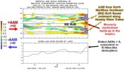
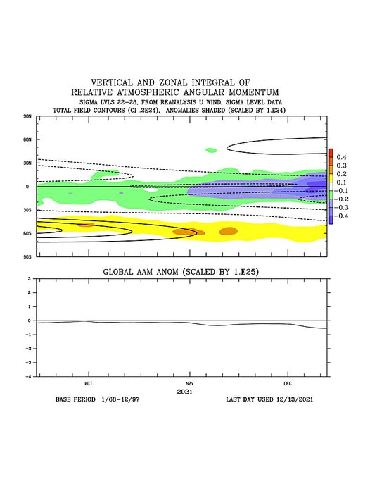
I annotated the GDSM Relative Atmospheric Angular Momentum (AAM) plots to show everyone what I'm thinking/seeing when I look at one of these. The footprint of this past November's Maritime Continent MJO is still lingering in the mid-latitudes in the form of -U/-AAM (easterly zonal wind anomalies). The westerly momentum build-up from the ongoing WP MJO event looks like it's poised to send some of this -AAM (cool colors) sitting around 30-40N, and westerly momentum in the tropics poleward as we enter January. That would create a very favorable AAM distribution for persistent/strong high-latitude blocking in January.

Webberweather53
Meteorologist
I spy an easterly QBO

If you’ve been seeing some of the posts Webb puts out phase 7 in December but especially January means a bump up in our chances of a winter storm in the SE .. I’ll take my chances thereThis is what I meant by the MJO possibly moving in the wrong direction in the short term. And can we really say that MJO phase 7 is a lock for cold in January?


iGRXY
Member
iGRXY
Member
packfan98
Moderator
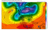
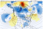
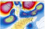
Definitely a cold pattern setting up on the 12z GFS and seems to match up well with the teleconnections. Let's see if we can get some moisture to go with it.


