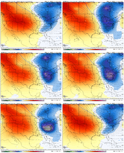
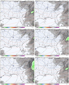
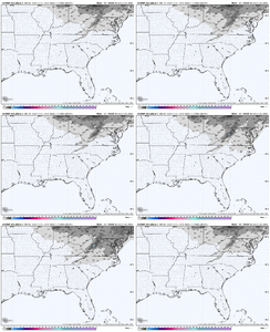
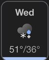
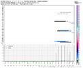
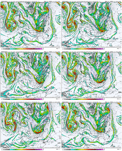
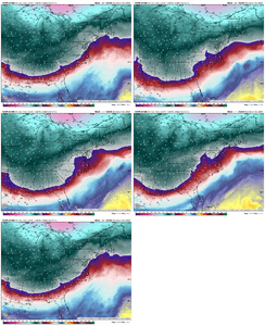
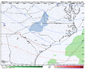
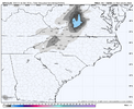
Y'all failed....Y'all bring home the rest of the suite, let's real in an early Christmas miracle
View attachment 156029
-
Hello, please take a minute to check out our awesome content, contributed by the wonderful members of our community. We hope you'll add your own thoughts and opinions by making a free account!
You are using an out of date browser. It may not display this or other websites correctly.
You should upgrade or use an alternative browser.
You should upgrade or use an alternative browser.
Pattern December Dud 👀
- Thread starter SD
- Start date
Webberweather53
Meteorologist

Wonder how we can ---- this up. Starting to see the western ridging return near end of ensembles now. Just not enthused for snow chances until we get a storm within 72-96 hours. Tough couple years…
Sent from my iPhone using Tapatalk
It’s way too warm beforehand. The initial return of that trough will likely be some sort of big occluded system that cuts up into the Lakes or so and brings chances of rain/storms and/or severe weather to the SE US. We are going to need to let this next pattern simmer for a bit (probably at least a week) before we have a real chance at a storm
NCSNOW
Member
7 day forecast looks like our weekend wedgie is breaking down this morning ( fog Bowl ) outside. We rocket above Normal Tues and Wed. Front knocks us back down Thurs into Fri. Saturday and espeacilly Sunday could be the coldest days of the year so far.
I'm gonna wait till Wednesday this week and decide what, if, how many days to schedule tee times next week.
One way or the other I'm coming out on top of the weather. If the weather cant whip up a few flakes , frozen , then Ill just chase the white ball.
I'm gonna wait till Wednesday this week and decide what, if, how many days to schedule tee times next week.
One way or the other I'm coming out on top of the weather. If the weather cant whip up a few flakes , frozen , then Ill just chase the white ball.
Webberweather53
Meteorologist
The general stage is being set for some sort of severe weather outbreak over the southern-eastern us after Christmas.
Big pacific jet extension then a collapse and a transition into a colder pattern in early January will require shortening wavelengths and strong cyclones/troughs to use up the background westerly momentum.
Probably will get at least one big storm system that occludes up into the lakes or so and sets the table for the Hudson Bay vortex again.
We’re pretty mild beforehand, won’t have much of an issue getting good instability pretty far to the north for this time of year too
GolfishardIknowit70
Member
Doesn't shortening wavelengths usually occur beginning of winter or end of winter, or am I way off kilter? LolThe general stage is being set for some sort of severe weather outbreak over the southern-eastern us after Christmas.
Big pacific jet extension then a collapse and a transition into a colder pattern in early January will require shortening wavelengths and strong cyclones/troughs to use up the background westerly momentum.
Probably will get at least one big storm system that occludes up into the lakes or so and sets the table for the Hudson Bay vortex again.
We’re pretty mild beforehand, won’t have much of an issue getting good instability pretty far to the north for this time of year too
Last edited:
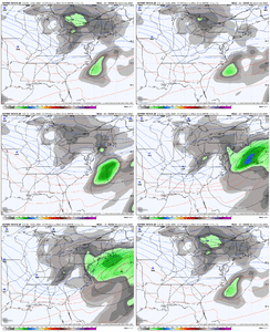
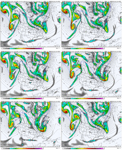
whewThis one is coming back for the NE. They get there NW trend unlike us View attachment 156048
couldn't draw up a better trend
also, we're at a spot where even ticks better at 5h will have an outsized impact at the surface bc of the little feedbacks that occur with the baroclinicity off the coast. excited for the 12z.
don't think this is a storm for most, i will be leveraging my geographic advantage with this storm, but still a good amount of time left
Yeah even we had a few decent members on 6z. Good news is timeframe is within all EPS runs at this point.whew
couldn't draw up a better trend
also, we're at a spot where even ticks better at 5h will have an outsized impact at the surface bc of the little feedbacks that occur with the baroclinicity off the coast. excited for the 12z.
don't think this is a storm for most, i will be leveraging my geographic advantage with this storm, but still a good amount of time left
Yep. I heavily debated trying to talk my family into staying in BOS another week and would have if it were only a few extra days and not like 7. This isn't far off from a big deal for them.This one is coming back for the NE. They get there NW trend unlike us View attachment 156048
severestorm
Member
The 540 line barely reaches Chicago.
The 540 line is the least of our problems. It also has very little utility in precip type forecasting around here.The 540 line barely reaches Chicago.
P.S. In the map I was showing, that was geopotential height not thickness. The 540 thickness line valid at the same time is across western NC and yet we still are far too warm to snow in the low levels, just further proving my point that the 540dm thickness line is not very useful in precip type forecasting (it looks at the entire 1000-500 mb layer thickness) whereas we often struggle with either low level temperatures and/or small warm noses in the 850-700 mb levels which is why the 1000-850 (hello my username) and 850-700 mb partial thickness evaluation is more useful.The 540 line is the least of our problems. It also has very little utility in precip type forecasting around here.
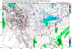
The 540dm is great for places further to the North, not dealing with as much warm air advection out of the Gulf or even the Atlantic.
When we see the 540 dipping into the deep South, it's usually a sign of a potent Arctic air mass overall.
With that said, down here, the 540dm isn't always needed to get Wintry weather. The moisture source we have, while bringing warm air advection, leads to a lot more precipitation that can lead to dynamical cooling and all kinds of other fun.
Anyways, when I see the 540dm line in the deep South, aside from a cutoff upper level low, I worry more about suppression/dry weather more than anything. Although the stronger short waves can lead to nice overrunning setups.


