• Hello, please take a minute to check out our awesome content, contributed by the wonderful members of our community. We hope you'll add your own thoughts and opinions by making a free account!

Pattern December Dud 👀

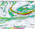
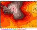
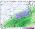
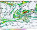
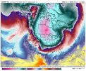
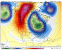
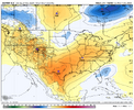
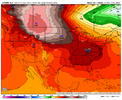
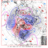
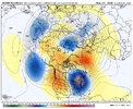
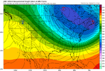
00z EC AI sharpened up western ridge while part of the TPV energy held further west, which allowed more northern stream energy to enter and dig further west and initiate cyclogenesis along Arctic front. Being honest, seeing the TPV split apart does raise some alarm bells based on the past few years, but with a mean trough already established to the east, hopefully we don't repeat the same fate. Getting what we want always requires threading the needle, and too consolidated of a TPV with no backside energy would have been cold and dry, we just need the backside energy to orientate N/S and dig, not close off.
View attachment 154711
View attachment 154712
I found your comment about alarm bells seeing the TPV split interesting in the sense that it just goes to show how A to Z has to go right in order for us to get a good wintry hit, and we all have concerns / biases in are minds from past setup failures.

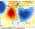
One thing I’m noticing on the Euro AI is that it has the strongest Pac Jet / biggest jet extension next week. That has generally led to pushing the western ridge & eastern trough too far east (cold/dry with pattern breaking down quicker)....but on the 00z run, it seemed to add amplification into the pattern with the western ridge pushing up into Alaska, and also, it phased the northern stream with a piece of the baja low that was kicked out, i.e. a split flow / phasing look injected into a cold environment in the east

A4vIq1w.gif
 
Even tries to hold on longer to the ridging poking into Greenland

View attachment 154744

Noticing the Aleutian trough starts to slowly back away to the west on the euro ensemble as it loses the upstream westerly momentum kick from this week’s +EAMT and planetary vort advection. We probably see another wave break over the NW territories or Alaska (-EPO) at some point
 
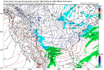
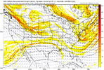
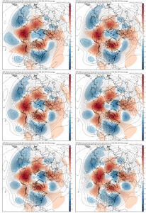
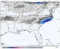
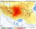
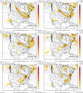
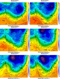
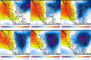
The Euro storm looks very much like the 2 December ‘58 analog storms. Northern stream wave drops down into the Southern Plains with cold trough established in the east

View attachment 154741
View attachment 154742


19581211 shown as top analog date

View attachment 154743
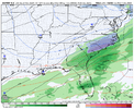
We always struggle with having a consolidated SE Canada move out and leaving behind some energy to phase with the southern energy. In the past few years, we've matched the general pattern, but I've noticed that there always seem to be little vortex pieces that get stuck, and we can never entirely fix them as models progress. The 1958 storm does an excellent job of consolidating the energy (see attached). The 12z Euro is a bit of a mess. I hope we can fix this look, and it's good that we have something being spit out

ezgif-5-08f49dc223.gif
 
Only way I can really see this pattern breaking down or resetting is a return of the -PNA some time in mid to late December or so if the Aleutian trough backs really far away into Eurasia. Starting to have some doubts that happens tho. Problem with the -PNA here in the long run is the MJO will be encroaching on the west pacific and the +AAM in the tropics should resist too much retraction.
 
Only way I can really see this pattern breaking down or resetting is a return of the -PNA some time in mid to late December or so if the Aleutian trough backs really far away into Eurasia. Starting to have some doubts that happens tho. Problem with the -PNA here in the long run is the MJO will be encroaching on the west pacific and the +AAM in the tropics should resist too much retraction.
If that happens then it will be a December to Remember
 
Back
Top