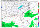
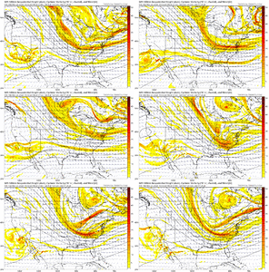
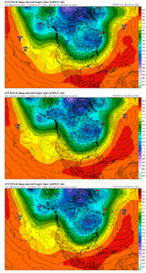
Man. That’s the recipe for sure. What a pretty map12/1-12/3 window is looking ripe. Arctic front draped along the Gulf with strong digging energy around TPV that may interact with southern stream energy.
View attachment 154661
Man. That’s the recipe for sure. What a pretty map12/1-12/3 window is looking ripe. Arctic front draped along the Gulf with strong digging energy around TPV that may interact with southern stream energy.
View attachment 154661
Yeah, for me, If I have to chase it's a miss. Leaving my snowless backyard to go see what someone else got, only to return to my snowless backyard is even worse.I think maybe I misunderstood you. You most likely did see snow up there like you said. I was thinking about upstate SC.
I've reached the cynical phase. Its just another head fake or North of the state line storm. I have no hope left.Man this place is dead for the potential guidance is showing. Last few years have sucked I know, but this is what we live for (opportunities)!
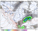
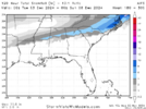
View attachment 154652
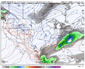
View attachment 154653
And has the ICON ever been right about anything?
We need to back that trough diving down through the Great Lakes to the Dakota's/Minnesota and we're in business. Certainly doable at this range.12/1-12/3 window is looking ripe. Arctic front draped along the Gulf with strong digging energy around TPV that may interact with southern stream energy.
View attachment 154661
View attachment 154662
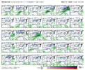
I'll take frame 42 and call it a win!Obviously grain of salt here. But a couple EPS members with strips of snow DEEP into the south. Goes to show where it can snow and what can happen if you have abundant cold air around
View attachment 154667
Like seeing the -NAO trendinspirational View attachment 154670
Regarding the suppression we're seeing in the modeling in the 8-10 day range, it's worth remembering that the models almost always overestimate the strength and southern push of these arctic outbreaks at this range. And, the ULL near California in this time range isn't the only trigger to keep an eye on and look for a short-wave not yet well modeled that may round the top of the PNA ridge and either interact with the ULL as mentioned earlier or perhaps be sharp enough to trigger a weak southern slider on its own.
It is an interesting period to kick off the winter.
We are obviously honing in on the timeframe after the Turkey Day storm passes as cold air filters in. For a storm, we are watching to see if a piece of the Baja wave can eject east <OR> a wave can dive down from the northern stream into the Southern Plains or dive down sharply right on top of us in the SE <OR> both of those occur with some phasingThis EPS run really brought back the +PNA/-EPO couplet in the longer term View attachment 154668
We are obviously honing in on the timeframe after the Turkey Day storm passes as cold air filters in. For a storm, we are watching to see if a piece of the Baja wave can eject east <OR> a wave can dive down from the northern stream into the Southern Plains or dive down sharply right on top of us in the SE <OR> both of those occur with some phasing
We may not come close to getting a storm here, but one of the analog comparisons that has been peppered on the CPC forecasts is from December 1958. Back-to-back winter storms occurred on December 11-14, 1958 (thanks to EWebb for the accumulation maps)
Here is a surface / 500mb animation from December 10-15, 1958:
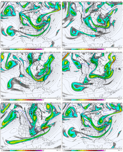
Here is what the pattern looked like for December 10-15, 1958
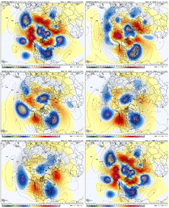
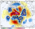
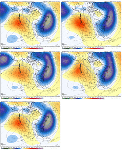
Here is today's EPS, pattern average for Nov 29-Dec 4
Here is today's JMA run which looks nice for Nov 29-Dec 1
Here is western amplification shown at the end of the EPS run for Dec 3-8
That is all. Hope yall are having a dam good day