Yellow Snow
Member
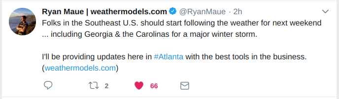
The storm has Ryan Maue's attention...
I got a question. Where is the cold air coming from? A HP in the NE or a HP in the Plains?
Really both!I got a question. Where is the cold air coming from? A HP in the NE or a HP in the Plains?

From the 12z Euro Ensemble Mean, this is about as good as you can get with a signal for a Wintry event.
View attachment 7983
Perfect track for central AL and GA. Just need enough cold air.
AgreedWe are gonna get it!
That LP did get a little suppressed from earlier runs.From the 12z Euro Ensemble Mean, this is about as good as you can get with a signal for a Wintry event.
View attachment 7983
I'm predicting 12-18" snow for the Greenville area with less than .10" of ice.I will make a call for upstate, 3-8" sn/ip and up to .25" ice. That's a pretty safe bet.
Sent from my SM-G955U using Tapatalk
.png")
I will make a call for upstate, 3-8" sn/ip and up to .25" ice. That's a pretty safe bet.
Sent from my SM-G955U using Tapatalk
Agree, that is heavily unlike them!! I remember quoting them on multiple occasions when everyone was snow-weenieing and saying well "RAH isn't calling for that", and everyone tried to tell me why (they are conservative).Rah NWS has "snow likely" Saturday night, aggressive for them to say the least, especially as far east as mby
Sent from my SM-G950U using Tapatalk
Man, don't we know that too well.There are no safe bets with southeast winter storms ESPECIALLY 6/7 days away
Sent from my iPhone using Tapatalk
For those interested in that 168hr UK graphic, below is the source, back-end directory and GUI.
https://ruc.noaa.gov/hfip/tcgen/201...912.168.lant.troplant.prp.fcst.gentracker.png
https://ruc.noaa.gov/hfip/tcgen/2018/2018120212/
https://ruc.noaa.gov/hfip/tcgen/
") Thanks for those links!
Thanks for those links!I'm ok with that .lola Macon surprise?
I'm ok with that .lol
Yes pleasePerfect track for central AL and GA. Just need enough cold air.
Sure there areThere are no safe bets with southeast winter storms ESPECIALLY 6/7 days away
Sent from my iPhone using Tapatalk
Sure there are
Sent from my SM-G955U using Tapatalk
I’m gonna make a call/guess too:I will make a call for upstate, 3-8" sn/ip and up to .25" ice. That's a pretty safe bet.
Sent from my SM-G955U using Tapatalk
Given the forecast track of this low, I hope it isn't a case of strong Gulf convection preventing development northward as seen in the past with the northern fringes getting dried up due to low DP's and CAA from the NNE.
Seen it before....
Yes, when you see that convection just to the SE rotating NW, then I'm a happy camper here in NC.We don't want to see something super amplified in the Gulf area for parts of SC/NC/NE GA either. It's looking like the idea from the quick EPS maps I looked at is to keep the system weaker until it goes off the coast of FL/SC and starts to amplify it at that point.. which may be the best case scenario for many in NC.
I will see about possibly making it easier to use sometime. Maybe an animation slider or something.
Yeah that will be a hard suite to follow. If it still shows 75 percent of earlier runs, I'm still happy!!!Not sure how much more weenie the incoming happy hour 18z GFS can be vs the 12z Euro but who knows..

N-NW flow instead of NE?