B
Brick Tamland
Guest
I measured 9.5 inches in my yard.
Wow. And people thought you were crazy for being so optimistic !I measured 9.5 inches in my yard.
Did it overperform for you guys. ??Could we get a Feb 2014 ULL repeat ?
Wouldn’t everything north of 540 line be snow?Trying not to get sucked back in for disappointment

Same storm.Good grief. Another snowstorm tomorrow ? Or would it be considered the same storm ?
Wouldn’t everything north of 540 line be snow?
And upstate tooDon’t buy the rain euro supports winter precip for many in WNC Monday.
Tomorrow I wouldn’t be seeing surprised if somebody got under a winter weather advisory for 1-3 inches of snow tomorrow evening and nightAnd upstate too
Sent from my SM-G955U using Tapatalk
No, I would never count on just the 540 thickness line to determine snowfall. The 540 line indicates rain/snow line 50% of the time, but not always. Of course, the lower the thickness value is, the colder it is. So, if the thickness value was like 534, the snow chance would increase.Wouldn’t everything north of 540 line be snow?
Thank you that was helpfulNo, I would never count on just the 540 thickness line to determine snowfall. The 540 line indicates rain/snow line 50% of the time, but not always. Of course, the lower the thickness value is, the colder it is. So, if the thickness value was like 534, the snow chance would increase.
I would really like to understand the synoptic scale condition that places our exact area on the dividing line 75% of the time. Why can’t the conditions of the storm, whatever they are, move the line 20 miles south. Ever?
I’ll be a good sport and eat crow on that one. Nicely done, BrickI measured 9.5 inches in my yard.
Thanks! Yeah we have been on a cold streak. Or a hot streak, depending on how you look at it. Getting some sleet mixing back in with the rain with this heavy downpour now.Horrendous luck. It really has been for your corner of Wake. Look at these near misses just to your SE over the past few winters. So it’s not just “climo”. The dam will bust soon and you will jack.
https://projects.ncsu.edu/atmos_collaboration/nwsfo/storage/cases/20110110/accum.20110110.gif
https://projects.ncsu.edu/atmos_collaboration/nwsfo/storage/cases/20140213/accum.20140211.gif
https://projects.ncsu.edu/atmos_collaboration/nwsfo/storage/cases/maps/accum.20180104.png
Congrats to everyone on the snow! We have 3 more months, lets break records!
I think more than 50% of the SE will break snow total records this year.


We will bullseye tomorrow 1.1 instead of .3NAM is nice for tomorrow. The UK had a lot of precip but was warmer.
View attachment 8988
View attachment 8989
If I even saw half of the 16-18 inches that happened here in ‘73 this winter I would be the happiest person alive. Shoot if I saw a quarter of that I would be happyThere are some areas where I don't think this will happen because of Feb. 1973 but what I'm hoping (and possibly wishcasting some) is with the factors that could play in this year, to see a good ole' Miller A that gives everyone that's realistic to see it a shot at some pretty wet snow.


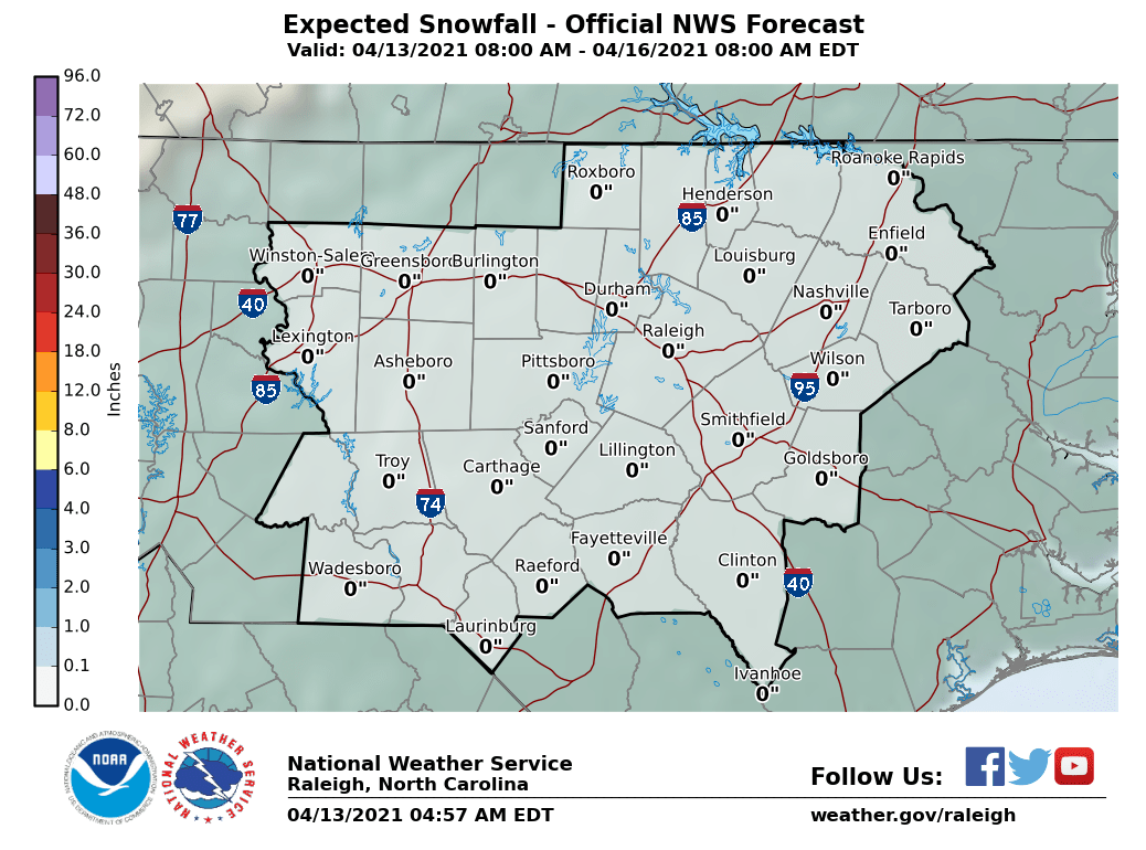
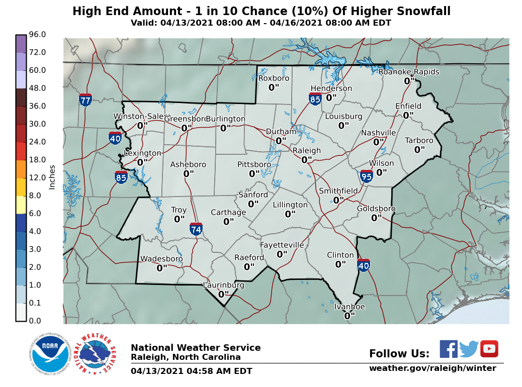
got any of them perdy maps for the upstate?NWS Raleigh is going for around an inch of accumulation tomorrow. Here are the expected and max potential maps:


Afraid not. Doesn't look like the weather service thinks there is going to be any accumulation there. I wouldn't be surprised if you saw some flakes flying though.got any of them perdy maps for the upstate?
