• Hello, please take a minute to check out our awesome content, contributed by the wonderful members of our community. We hope you'll add your own thoughts and opinions by making a free account!

Severe April 6-8th severe threat

Hrrr has actually lowered dewpoints and shows 20 degree dewpoint/sfc temp depressions now with inverted Vs, your definitely not lying about the wind threat with storms, hail threat is lowering due to poor mid level lapse rates and HGZs have shrunk a bit, still with WBZ at 700 hPa May see some hailers
We’re going to do a balloon launch here on UNCC’s campus this afternoon & that should definitely provide a good gauge of what we’re up against
 
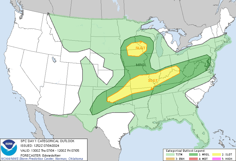
day1otlk_1300.gif
 
The HRRR seems to have trended towards more intense storms than earlier runs as of now. The CAPE is also increasing all throughout GA into NC, but the strongest increase has been in S GA. Not sure if that will dampen the threat further north with moisture robbing from higher energy storms or what.

It might for northern GA but us further east have a better chance due to a remnant boundary allowing storms to develop hitting such a unstable environment, also Lee side troughing always sparks storms in these setups D9947F13-12AE-4C71-992F-0F4640609227.gif
 
Last edited:
Clouds have filled back in a bit here, still some sun peeking out, but there’s a break in the clouds off the distance to my SW so I’m assuming full sun will become a bit more dominate agin
 
NWS Blacksburg wants an upgrade out of slight risk. Some details discussed in their AFD. I think the SPC will wait till the last minute for the Virgina Piedmont and maybe parts of NC.
 
Next 2-4 hours for the alabama people need to watch for convection firing up in southwest alabama and east mississippi that's when it looks to be go time for storms that'll be severe.
 
Georgia people need to watch for supercells as well late tonight early tomorrow morning. This is from the HRRR simulated radar.
Screenshot_20190408-112123_Samsung Internet.jpgScreenshot_20190408-112133_Samsung Internet.jpg
 
Kind of unusual to be tracking a severe weather event during peak heating instead of overnight for North Carolina standards. By 6pm it’s all linear for most except for south side Virgina into northern NC east of Greensboro. Anything that develops now until then needs to be watched closely.
 
Yep this is not for tornadoes. Just damaging winds. The SPC also noted they expect the greatest number of reports to come from the Virgina/North Carolina state line.
 
For anyone in the upstate hopeful convection would explode to the east, current radar should be a big reality check
 
Don
Yep this is not for tornadoes. Just damaging winds. The SPC also noted they expect the greatest number of reports to come from the Virgina/North Carolina state line.
Dont know why there would be more of a concentration there ... I think everyone from upstate through NC are in the crosshairs here .. already seeing discrete cells developing in SC which isn’t seen on short range models
 
Back
Top