Z
-
Hello, please take a minute to check out our awesome content, contributed by the wonderful members of our community. We hope you'll add your own thoughts and opinions by making a free account!
You are using an out of date browser. It may not display this or other websites correctly.
You should upgrade or use an alternative browser.
You should upgrade or use an alternative browser.
Severe 4/12 - (?) Severe Weather
- Thread starter Iceresistance
- Start date
-
- Tags
- severe
Z
Zander98al
Guest
HSVweather
Member
HSVweather
Member
This is the third Wednesday and Thursday threat in a row. The pattern seems to be stuck on repeat.
Z
Zander98al
Guest
Yup, just gon see wind damage may have a stornger spin up but storm mode is going to give you zilch chance at anything significant.
This severe thunderstorm threat though couldve warranted a high risk. Its really out there showing out
This severe thunderstorm threat though couldve warranted a high risk. Its really out there showing out
Z
Zander98al
Guest
HSVweather
Member
HSVweather
Member
HSVweather
Member
Z
Zander98al
Guest
Really good structure with that one
HSVweather
Member
HSVweather
Member
HSVweather
Member
HSVweather
Member
HSVweather
Member
JLL1973
Member
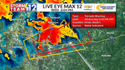
That was some of the strongest winds I’ve ever seen. I e never seen trees bowed over like that. NWS said the winds were 80mph in it
JLL1973
Member
Wide spread power outages and structural damage throughout alcorn county
NWMSGuy
Member
The line certainly had some power to it once it started crossing Marshall County heading east.Wide spread power outages and structural damage throughout alcorn county
HSVweather
Member
HSVweather
Member
Northwest AL, same county as Florence
HSVweather
Member
JLL1973
Member
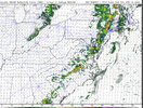
Yep. Just the opposite of what the HRRR was showingThe line certainly had some power to it once it started crossing Marshall County heading east.
HSVweather
Member
HSVweather
Member
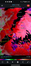
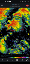
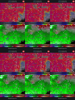
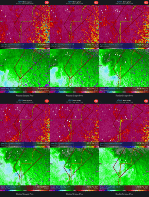
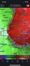
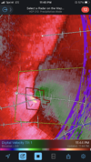
Doesn’t look tightly coupled to me.. also not showing tremendously strong velocity values .. worth watching thoughUnwarned circulation
View attachment 117276
HSVweather
Member
HSVweather
Member
HSVweather
Member
HSVweather
Member
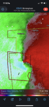
It’s about to cross US82 and if it holds together moving in general area of Vance
Looks like it’s gone. That’s probably the vibe of tonight if there’s anything else. Quick spin-ups. As soon as your warn them they are gone lol.It’s about to cross US82 and if it holds together moving in general area of Vance
HSVweather
Member
Z
Zander98al
Guest
Got real windy last night

