• Hello, please take a minute to check out our awesome content, contributed by the wonderful members of our community. We hope you'll add your own thoughts and opinions by making a free account!

Tropical 2025 Tropical Thread

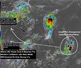
2am NHC

2. Central Tropical Atlantic (AL99):
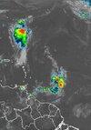
Showers and thunderstorms associated with a tropical wave located
more than one thousand miles east of the Windward Islands have
become less organized over the past 24 hours, and the system is
currently being affected by strong wind shear. No development is
expected through tonight while the system traverses the area of
strong wind shear. The wave could reach a slightly more favorable
environment Sunday and Monday as it approaches the Windward Islands,
and some slow development is possible during that time. By the
middle of next week, conditions over the Caribbean are expected to
be unfavorable for further development.
* Formation chance through 48 hours...low...10 percent.
* Formation chance through 7 days...low...20 percent.
 

I'm with Andy. The models have done poorly but at a lot of things. Development clearly.....Danny may be implying that 99L has the resiliency of Erin.

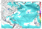
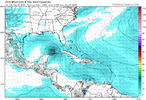
Icon hanging in there. Let's see if it verifies.
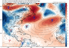
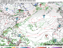
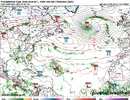
GFS takes it further south but pulls it back in to the gulf into Mexico.
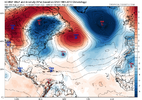
Euro gets it to the islands as a blue speck rain event, and then it dies.

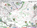
icon_mslp_wind_atl_61 (1).png

gfs_mslpa_atl_42.png

ecmwf_mslpa_atl_15.png
 
Last edited:
From Hazelton's comment about history of past 99L storms. He said "Never trust a 99L".

1999 Atlantic Hurricane Season: Invest 99L was a precursor to a number of storms, including Hurricane Cindy, Hurricane Dennis, and Hurricane Jose. This was a very active season with five major hurricanes.
Cindy - cat4, curved, no land interaction
Dennis -cat1, set the stage for Floyd 12 days later
Jose - cat2, Lesser Antilles, Barbuda and Antigua

2005 Atlantic Hurricane Season: What began as Invest 99L went on to become Hurricane Katrina, one of the most destructive and deadly hurricanes in US history.
Cat5...New Orleans

2016 Atlantic Hurricane Season: In August 2016, Invest 99L was a system that eventually became Tropical Storm Hermine and later Hurricane Hermine.
Cat1 - landfall Big Bend area
 
Last edited:
It's gonna have a very fine line if its gonna be a US threat or it's going to Central America easily

The circle south of Bermuda(basically following Erin) looks like it will be Fernand first
 
99L - 2 thoughts:
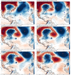
(1) it stays weak, misses a strong upper level trough of low pressure over the Eastern US and be guided westward into central America.
12z EURO AI, GFS, and CMC

(2) it strengthens and becomes more robust, it could be influenced by the trough and pulled northward out of the Carribean into the gulf.

12z Icon

Per Crown Weather Service

image0 (1).jpeg

ec-aifs_mslpa_atl_fh6-60.gif

icon_mslp_wind_watl_61.png
 
Last edited:
99L
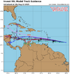
Not that I'm even close to a fan of the spaghetti models but here it is. Looks like TVCX takes the gulf option. Would guess that TVCN is close behind, since both are average consensus models.

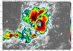
It has the look of wanting to be somebody.

TVCX is a hurricane forecast consensus model that averages the tracks of the Global Forecast System (GFS), UKMET, and two instances of the European Centre for Medium-Range Weather Forecasts (ECMWF) models, with its members being weighted differently. Both TVCX and TVCN are used extensively by NHC.

40548d39-ed9c-4394-aadb-750e839127b6.jpeg

99L_tracks_latest.png
 
Back
Top