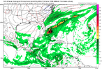
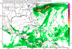
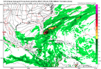
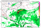
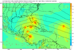
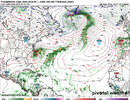
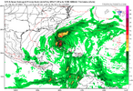
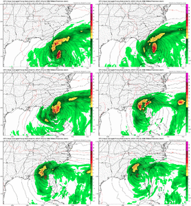
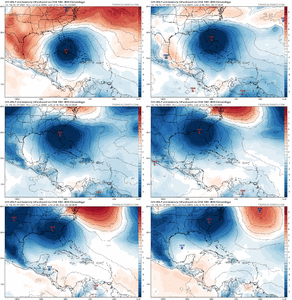
Per model consensus, there’s a chance for a short-lived TC to form just E of FL from an area of convection currently in the E GOM ahead of Milton that would then move well OTS. Is anyone else watching this? For example, the 12Z UKMET has a TC from this:
NEW TROPICAL CYCLONE FORECAST TO DEVELOP AFTER 48 HOURS
FORECAST POSITION AT T+ 48 : 27.6N 78.8W
LEAD CENTRAL MAXIMUM WIND
VERIFYING TIME TIME POSITION PRESSURE (MB) SPEED (KNOTS)
-------------- ---- -------- ------------- -------------
1200UTC 08.10.2024 48 27.6N 78.8W 1003 23
0000UTC 09.10.2024 60 28.6N 75.5W 1002 28
1200UTC 09.10.2024 72 30.0N 71.9W 1003 30
0000UTC 10.10.2024 84 32.3N 66.5W 1004 30
1200UTC 10.10.2024 96 35.3N 60.5W 1003 33
0000UTC 11.10.2024 108 38.9N 54.6W 999 37
1200UTC 11.10.2024 120 CEASED TRACKING

