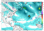
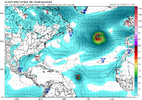
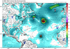
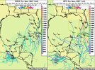
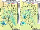
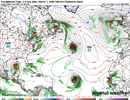
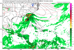
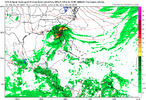
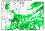
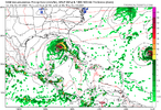
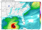
Red X I can see being a problem, I don’t see it curving like Kirk is gonna
View attachment 152374
ZCZC MIATWOAT ALL
TTAA00 KNHC DDHHMM
Tropical Weather Outlook
NWS National Hurricane Center Miami FL
800 AM EDT Mon Sep 30 2024
For the North Atlantic...Caribbean Sea and the Gulf of Mexico:
Active Systems:
The National Hurricane Center is issuing advisories on Tropical
Storm Isaac, located several hundred miles north of the Azores, on
Tropical Depression Joyce, located over the central Atlantic Ocean,
and on Tropical Depression Twelve, located over the eastern
tropical Atlantic Ocean.
1. Western Caribbean Sea and Gulf of Mexico:
A large and disorganized area of low pressure located over the
western and southwestern Caribbean Sea is producing some shower and
thunderstorm activity. Environmental conditions could become
conducive for gradual development, and a tropical depression could
form in a few days while the system is over the southern Gulf of
Mexico or northwestern Caribbean Sea. While interests in the
northwestern Caribbean Sea and along the U.S. Gulf Coast should
continue to monitor the progress of this system, the timetable for
potential development has shifted later toward late week or this
weekend.
* Formation chance through 48 hours...low...near 0 percent.
* Formation chance through 7 days...medium...40 percent.
2. Eastern Tropical Atlantic:
Showers and thunderstorms have increased in association with a
tropical wave located a few hundred miles south of the Cabo Verde
Islands. Upper-level winds are forecast to become more conducive
for gradual development, and a tropical depression is likely to form
in a few days while it moves slowly westward over the eastern
tropical Atlantic.
* Formation chance through 48 hours...low...30 percent.
* Formation chance through 7 days...high...80 percent.
Public Advisories on Tropical Depression Twelve are issued under
WMO header WTNT32 KNHC and under AWIPS header MIATCPAT2.
Forecast/Advisories on Tropical Depression Twelve are issued under
WMO header WTNT22 KNHC and under AWIPS header MIATCMAT2.
Forecaster Blake
The one following Kirk very likely won’t recurve like Kirk is expected to. However, the good news is that going all of the way back to 1851, there’s not even one storm on record that became a TS in the MDR east of 50W after Sep 25th that made it to the CONUS. Not even one! So, if it were to be named well before 50W (very likely) I’d feel very confident that the CONUS won’t be hit.
OTOH there have been several in the MDR that became a TS 9/25-early Oct within 55-60W that hit the US. These are about the most notable:
- Matthew (2016) didn’t become a TS until almost 60W (on Sep 28th)
-Hazel (1954) formed at 58W on Oct 5
-1898: formed at 58W on 9/25
*Corrected because I accidentally left out a couple of things
Last edited:


