Things get a little more interesting Thursday as the cold
front will
begin to push into the area. Although the
front will be stretched
out somewhat rather than just blasting through, strong DPVA combined
with the upper
jet provide plenty of synoptic lift. It`s a little
far out for details but at least the
GFS is trying to show a decent
850mb
jet as well midday Thursday. Timing of the
instability surge
and juxtaposition with strongest deep-layer
shear might be critical,
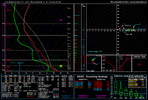
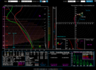
but somewhere in our forecast area we are currently
progged to have
2000-2500
J/kg lined up with >50kt deep layer
shear, which is
impressive. Forecast trends will need to be monitored.
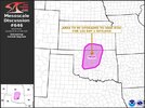
SPC`s Day 6
outlook is vague on the area but mentions the possibility of needing
to introduce an one or more 15% areas for Thursday when guidance
comes into better agreement.
Upper
shortwave actually begins to approach later on Friday so
pops
remain in the forecast until then. However, depending on the actual
timing of the
front itself, cannot rule out an insitu increase in
instability right along the
front where there would be a local
enhancement in deep layer
shear, but uncertainty is quite high on
when the
front would push through.
Pops remain high as in line with
the blends but timing will
likely change in subsequent forecasts.
Looks like we may get a couple of rounds of severe weather late next week.

