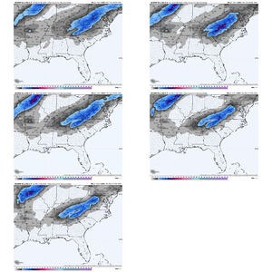
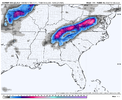
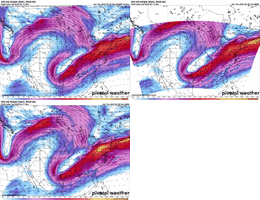
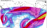
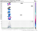
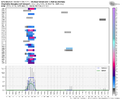
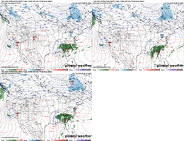
According to KFFC this morning:
National Weather Service Peachtree City GA
645 AM EST Thu Feb 9 2023
So by Sunday morning, we`ll have colder air pushing in behind the
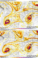
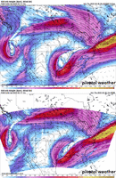
front, but moist flow overriding the area. An upper-level low
pressure system pushing into the forecast area, causing thicknesses
to drop under 540 dam. Between the two systems, heavy saturation
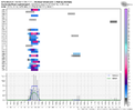
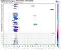
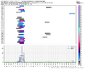
through the vertical column, promoting steady precip across the area
with lifting through the dendritic growth zone as surface temps cool
to the mid- to upper- 30s by Saturday night through Sunday.
Additionally, easterly flow north of the surface flow may promote
upslope flow with a minor CAD wedge forming in the southeastern
Appalachians. The result, will likely be a borderline wintry
weather event, primarily across north Georgia, with the primary
ptype being melting snow across at least a portion of the region.
The tricky part will be where, how long, and how much? No big deal.
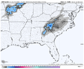
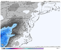
As of now, the best confidence we have for any snow accumulations is
across far north Georgia, primarily in the N GA Mnts with minor
accumulation values. Elsewhere, models are signaling wintry precip
for scattered locations which will be heavily dependent on the
location of the upper-level low pressure system, but since it will
be cut off from the primary flow pattern, its location is much
harder to predict. Additionally, any snow that falls will likely be
falling into temperatures in the mid to upper 30s, which means it
will likely be melting as it comes down as it acts to cool
temperatures as it does so. This makes the accumulation question
difficult because there will likely be a significant difference
between how much snow could fall versus how much snow will
accumulate, a question some models can predict but can be difficult
to interpret. Additionally, temperatures will likely drop the more
heavier snow falls (and melts) so at some point we could see melting
snow starts to accumulate but at what time that could happen is
unclear. All in all, there remains way too many questions for a
decisive forecast, so for now we`re calling for periods of a
rain/snow mix through a good portion of North Georgia Saturday night
through Sunday morning, with only light accumulations forecast for
far north Georgia. Time will tell as these processes come to
consensus over the next 24-48 hours on how the system will evolve.

