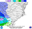
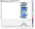
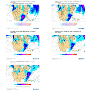
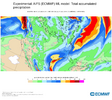
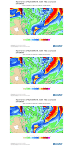
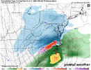
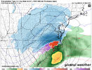
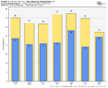
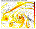
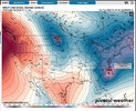
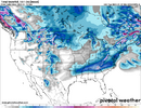
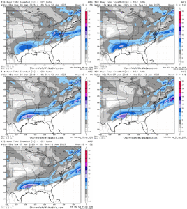
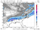
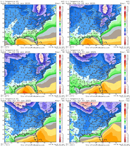
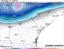
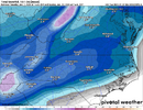
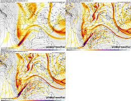
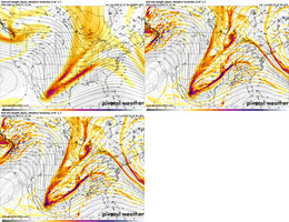
Very interesting thoughts about less potential ice amounts from the NWS office in Raleigh. Leaning on the more traditional Miller A "snow or NO" guidelines backed up with looking at current soundings it sounds like:
Leaning on cluster analysis from 12z grand ensemble highlights the
most likely scenario accounting for nearly half of EPS, GEFS, and
GEPS members, which is a very high percentage at this time range.
This most likely scenario features a positively tilted trough axis
stretching from the Great Lakes to the ArkLaTex region that slides
eastward with the trough axis approaching the East Coast through Sat
evening. This mid/upper pattern would support a Miller A lowviliy
developing over the northern GOM Fri evening and moving ENE through
the Southeast and off the NC coast into the western Atlantic by Sat
evening. Typically with Miller A surface low tracks, p-type
distribution is mostly rain/snow with a narrow corridor of mixed p-
type separating the two regimes. Point soundings analysis from the
deterministic 00z GFS and ECMWF confirm this p-type configuration.
Planer plots of p-type on deterministic guidance have been too
aggressive with the freezing rain area as point soundings in these
regions show mostly isothermal layer around 0C that would still be
capable of producing wet snow aggregates and fleeting sleet. The
biggest question mark, and one most people would like to know, is
where the rain/snow line will set up, and there are still too many
uncertainties with the finer details of the forecast to say with any
reasonable/responsible sense of certainty. Latest forecast leans on
climatology based on the forecast low track and highlights an
initial period of snow areawide with the rain/snow line migrating
northward towards the climatologically favored I-85 corridor with
precipitation coming to and end from west to east from 18z Sat to
00z Sun.


