lexxnchloe
Member
Snow here as well.
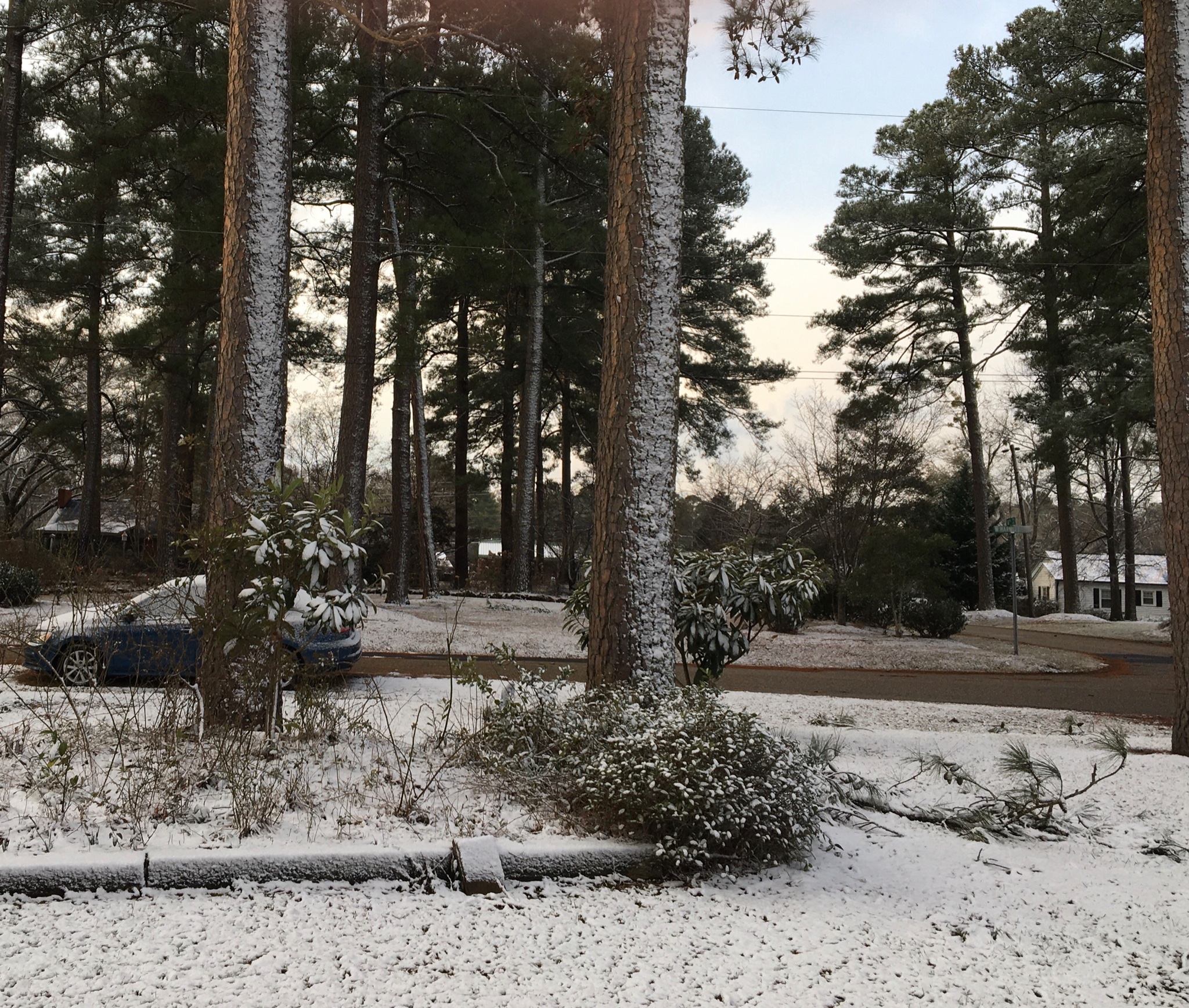
 Good morning. I think I might have jackpoted here. Looks to be around 2 inches.
 2.5” puts me over 8” for the month. This one overperformed here. Every blade of grass covered.


Im inland a bit. LT snow for awhile. Nice heavy dusting. Temp probably a little above freezing@lexxnchloe What are your OBS? (I'm up here in Surf City).. Over in Town?