Webberweather53
Meteorologist
It’s about to be 365 days awayalways 10 days away
It’s about to be 365 days awayalways 10 days away
The CFS is one of those models where you look at it and just assume it’s gonna be dead wrong. CFS verification scores are worse than the NAVGEM ?CFS sucks balls, it’s solution is basically a toss lol
confidence low on exact hour but high that’s it’s up to half a day earlier than models show. Most systems this year have hit several hours earlier than suggested. Still mostly rain event but I see much lower chance near zero for actual Christmas Day. It’s the 24th imoOk bird brain... I love how you seem to know several days out down to the hour when these snow showers will occur.
That would be early evening on the 24th. But yeah, as others have said this is the worse model.About what time is 0z eastern time?
Sent from my iPhone using Tapatalk
I have to agree with this at the moment. Looks to me like just a frontal passage. We need a wave to form along the front to our south after the front passes to slow it down and throw some moisture back into the cold air. Otherwise it will not get cold enough, quick enough, east of the mountains. We have to see some radical changes in the set-up. Is it possible? sure... but as modeled today, it's going to take some work.Low level cold getting blocked by the mountains. Lol it’s dead Jim
John CessarichLol who printed this story?
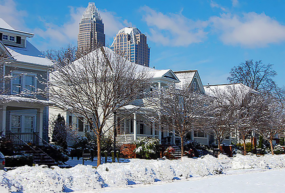
Charlotte Expected To See Its First 'White Christmas' in a Decade
Snow showers are now expected to fall throughout the Charlotte region on the morning of December 25th, 2020, giving the Queen City its first true ‘White Christmas’ since 2010. The Weather Channel is forecasting a low of 27 degrees and a high of 42 degrees for Christmas day, with morning snow...www.charlottestories.com
Sorry bro but I’m doing the opposite of yawning for the slight potential to see flakes on ChristmasUnless you’re in Tennessee or the mountains, nothing to get excited about here for snow. Until the gefs isn’t the only model strongly supporting some snow outside of these areas... yawn.
“Huntsville nws being pretty bold bout chances for SOME snow.would share but I'm too dumb to know how ?


That clipper system looks solid on the backside until it hits the stupid mountains! Ugh they annoy mePlease come back my inner weenie just can’t let go, as much as I know how unlikely it is, I’ll go down with @Jimmy Hypocracy ‘s failboat if I have to !! lol
View attachment 59030View attachment 59031
We need more digging for a few flurries to make it East of the mountains, this isn’t getting the job done unless maybe your in VAThat clipper system looks solid on the backside until it hits the stupid mountains! Ugh they annoy me
Sent from my Pixel 3 using Tapatalk


That's a whack temperature map. Highly doubt it's gonna look like that lolAt the very least, the temp drop on Christmas Eve should be impressive(20 degree frontal passage drop). This is for ~noon:
View attachment 59033
It’s almost unrealistic, damn what a changeAt the very least, the temp drop on Christmas Eve should be impressive(20 degree frontal passage drop). This is for ~noon:
View attachment 59033

That means the trough is too far east.Of course the storm blows up in the atlantic
Sent from my Pixel 3 using Tapatalk
Newfound gap between Cherokee and Gatlinbug will def score. Great location to be for guaranteed annual snow. Its like NC's Valdez AlaskaIf your life will not be complete without snow on Christmas Day, jump on 441 and drive to Newfound Gap. You will see snow either from the anafront or the clipper. They will not get shutout from both.
Then you lose any CAD and introduce tornado more frequentlyIs there anyway we can just blow up the mountains and start fresh?

Totally agree. Moving fast but it’s got a chance to pop.I'd be paying close attention to this if I were on the nc/va coast
Sent from my Pixel 3 using Tapatalk
I noticed that as well. The GEFS is either onto something or just flat out horrible. Because it's been trending better for areas east of the mountains for a whileBruh the gefs is better for areas East of the mountains but a bit worse for areas west vs the 18z, I just don’t know what it’s seeing.
I think it’s on -------- but we’ll see what it doesI noticed that as well. The GEFS is either onto something or just flat out horrible. Because it's been trending better for areas east of the mountains for a while
Sent from my Pixel 3 using Tapatalk
Yeah more than likely so. But I do think the central/eastern part of the state have a chance at seeing some snow showersI think it’s on -------- but we’ll see what it does
GSP does say Sn showers is possible for areas around I-40 so it’s possible, lots of flurry potential with this pattern, I just don’t really buy the gefs, while some members develop a second wave, what OP model has done that ?Yeah more than likely so. But I do think the central/eastern part of the state have a chance at seeing some snow showers
Sent from my Pixel 3 using Tapatalk
Go with what this setup usually turns out to be. Frontal passage. Trailing clipper is the curveball here with a chance to create a late blooming situation just off the coast. Putting that at about 2% right now. Im still putting everyone on this board on flurry watch because this is a really cold airmass with a lot of moisture around.Bruh the gefs is better for areas East of the mountains but a bit worse for areas west vs the 18z, I just don’t know what it’s seeing.


Agree, a flurry is a win anyways, expectations should be held to that or even belowGo with what this setup usually turns out to be. Frontal passage. Trailing clipper is the curveball here with a chance to create a late blooming situation just off the coast. Putting that at about 2% right now. Im still putting everyone on this board on flurry watch because this is a really cold airmass with a lot of moisture around.


