NoSnowATL
Member
Hard to see the needles on the ground I’m sure.SFO talking about snow levels dropping to 1K which would bring snow levels down to parts of the city. pretty cool.
Hard to see the needles on the ground I’m sure.SFO talking about snow levels dropping to 1K which would bring snow levels down to parts of the city. pretty cool.

 ️
️ ️
️

Lake Tahoe avalanche leaves 8 backcountry skiers dead, 1 still missing. 6 rescued.
Lake Tahoe avalanche kills 8 backcountry skiers, including group of 6 moms who bonded over their 'love of the outdoors'
The skiers were returning from a three-day trek in California's Sierra Nevada when the avalanche struck. Six were rescued; one remains missing and is presumed dead.www.yahoo.com
Ooof12 z vs 18z GFS! South shift is legit! 63 today, 8” tomorrow!


This could be a potentially historic blizzard up in the Philadelphia NYC corridor
View attachment 194426


This could be a potentially historic blizzard up in the Philadelphia NYC corridor
View attachment 194426

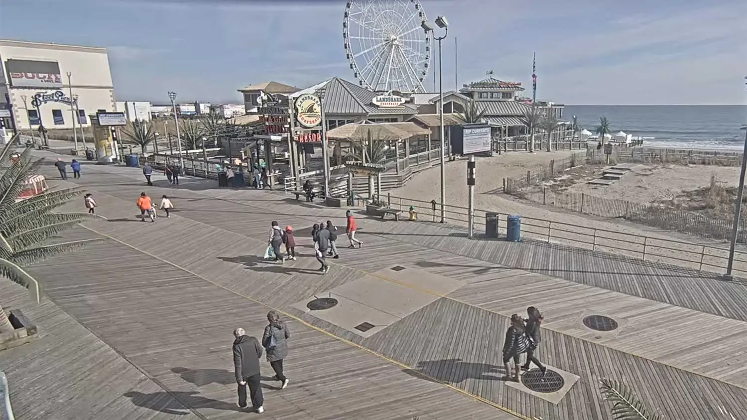
 njbeachcams.com


 forecast.weather.gov
Totals well over a foot being reported in the NYC metroView attachment 194484View attachment 194485
Well east of the city on Long Island View attachment 194486
forecast.weather.gov
1.56” of liquid equivalent (all in the form of snow except perhaps the first .01-.02”) has fallen at NYC/C Park as of 10AM and it’s still coming down very heavily! This storm is nearly beyond description.
National Weather Service
There's a couple 26 inch reports on Long Island now. It definitely seems like the models were right about the heaviest snow being east of the city.
Also most of the webcams I found earlier were useless due to whiteout conditions


No, I’m out of town, but looks like 1.5 “ of paste! Started out as rain and temps about 35. Hopefully there’s one good one coming this winter
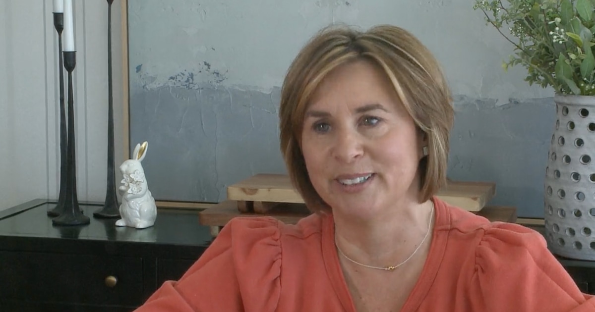
 www.today.com
Yes!!Hey Mack, have you seen this Des Moines
met.? It is very sad to hear this about her:
Meteorologist Jeriann Ritter Saw a Dentist for 'Weird' Feeling in Mouth. It Was 1st Sign of ALS
Viewers noticed her speech had changed on air. Now, she's sharing her story.
My grandfather had the same thing. The Bulbar ALS. It's awful to watch someone go through that. His progressed rather quickly after he was correctly diagnosed. He couldn't eat or drink anything. Had to use a feeding tube. It's just a horrible disease. Ironically, his speech was also the first thing we noticed that something wasn't right.Hey Mack, have you seen this Des Moines
met.? It is very sad to hear this about her:
Meteorologist Jeriann Ritter Saw a Dentist for 'Weird' Feeling in Mouth. It Was 1st Sign of ALS
Viewers noticed her speech had changed on air. Now, she's sharing her story.
If bad flooding were to be avoided, this would be potentially good news for dry areas in this region:
View attachment 194604
Yeah it would be amazing but ll believe it when I see it unfortunately
Every single storm for the last 6 months has underperformed here
I still remember when Valentine's Day weekend was gonna be a washout. The rain was over here by 9am Saturday that weekend