-
Hello, please take a minute to check out our awesome content, contributed by the wonderful members of our community. We hope you'll add your own thoughts and opinions by making a free account!
You are using an out of date browser. It may not display this or other websites correctly.
You should upgrade or use an alternative browser.
You should upgrade or use an alternative browser.
Pattern January Joke
- Thread starter SD
- Start date
CNCsnwfan1210
Member
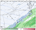
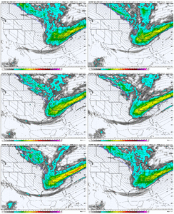
Popped a low off the NE Gulf/SE coast
Sent from my iPhone using Tapatalk
Tsappfrog20
Member
Uk looks like a miller A
Sent from my iPhone using Tapatalk
NBAcentel
Member
rburrel2
Member
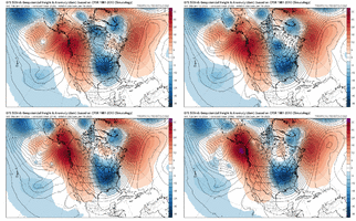
It’s becoming clear that we’re gonna get a ridiculous and comprehensive high latitude blocking episode to end January. All the models/means have it.
SnowNiner
Member
Amazing the difference a little neutral tilt can cause on the surface. That's a perfect spot for it, can we get a little more? And can we get the Euro to do it?!
But the UK shows no precip over our area. I am close to your area.Ukie sounding for my location Sunday morning. View attachment 182925
SnowNiner
Member
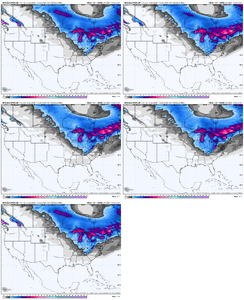
That ensemble mean does give you the story of the pattern though IMO. Look at all the northern stream lake effect and NW flow snow. And a big hole on the east coast up and down the board, and nothing out west. Northern stream dominate, and at a bad angle.
That sounding shows just how close the atmosphere is to having precipitation reach the ground, and if so, it would be snow for the Atlanta area. Verbatim, watching virga overhead would be maddening while it snows to our south. In any case, it's close enough to warrant continuing to follow closely.But the UK shows no precip over our area. I am close to your area.
Well, it already happened last year. This is just our new reality.I think I’ll stop following weather altogether if the FL panhandle gets measurable snow before the NC Piedmont
nice. proof of concept. you have my attention.
I like your proof of concept, concept. We can talk all the pattern this and that, but the more hits that are showing up the better, even though nothing is ever guaranteednice. proof of concept. you have my attention.
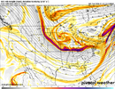
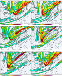
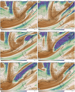
Note that the highest heights associated with the PNA ridge have been shifting west to now off the coast of British Columbia and amplified poleward over the past day. In response, that energy that was stranded in Northern Canada a day ago today has dived south on the backside of our system #2. A few more ticks west, and the trough axis should continue to nudge west. The aforementioned backside vorticity maximum is the key feature to watch.

NBAcentel
Member
rburrel2
Member
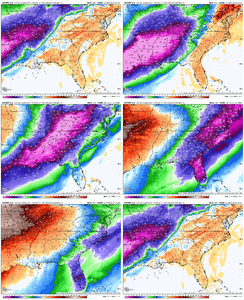
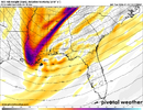
12z Euro drier from more positively tilted look, might still be a light hit for someone along the coastal plain
System 1 or System 2?12z Euro drier from more positively tilted look, might still be a light hit for someone along the coastal plain
All I care about is that the ensembles continue to have hits and increase those as we get closer. I wouldn’t be surprised at all if the global op runs are duds for the next 36-48 hours for system two. We just need to continue the better looks at H5. That ukmet footprint ends up being a 20/59 special for most of us here in Alabama.
If you look at the past storms that this compares too, we’ve literally looked grim 24-36 hours before the event. That 06z eps was glorious and I’m anxious for 12z. These storms aren’t for the op to op people, you’ll die
If you look at the past storms that this compares too, we’ve literally looked grim 24-36 hours before the event. That 06z eps was glorious and I’m anxious for 12z. These storms aren’t for the op to op people, you’ll die
NBAcentel
Member
Glad H5 is still in the ballpark though.
Is that fropa or a system building and backing in?
CNCsnwfan1210
Member
A lot of moisture lurking just offshore, still have quite a few model cycles to make this work. Not a bad look at this time.
Sent from my iPhone using Tapatalk
Does that mean no rage?
CNCsnwfan1210
Member
We’re good at a NW trend, last January is still fresh in my memory.
Sent from my iPhone using Tapatalk
Sent from my iPhone using Tapatalk
Euro looks good to me.
NBAcentel
Member
Forevertothee
Member
It would beyond hilarious for Charleston and Savannah to get back-to-back snows/ice and have more snow than Columbia and GSP combined in the last 6 years.
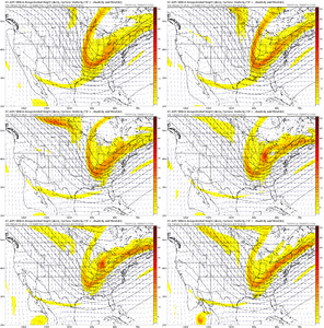
Truthfully I don't expect any frozen precip into Florida, however the snow weenie in me has at least an eye on it. Snow flurries would be a win. The larger look is sorta similar to the early Jan 2018 ice storm in Northeast Florida, though obviously not identical. Big PNA ridge out west and deep trough in the east extending to the Gulf Coast with some embedded shortwaves. Just need the shortwave to tilt neutral west of the state and introduce some PVA into the region, but not overwhelmingly so with aggressive WAA. The problem is the flow seems so fast so it might be difficult, that's my concern. But here in Florida and along the coastal plain, we don't want an aggressive negatively tilted shortwave. Just something more neutral with the area under the RRQ of a stout upper jet (i.e. last January's storm).
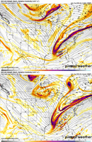
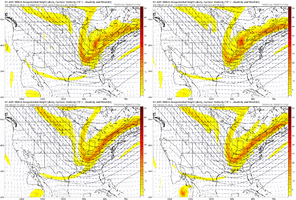
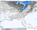
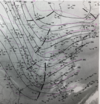
12z Euro brings some flurries into the Panhandle/NE FL, however admittedly I'd be worried about too much dry air with the output verbatim. The h5 comparison for Sunday vs Jan 2018:
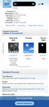
By some miracle we could get an accumulating (0.1") snowfall into TLH, that would be the first time in history it snowed in back-to-back years. Which isn't surprising considering there's only been accumulating snowfall in TLH in 7 recorded years dating back to 1940. 1899 isn't included in that. Regardless of snow, a few cold shots will make it feel like winter later this week and weekend.
12z Euro brings some flurries into the Panhandle/NE FL, however admittedly I'd be worried about too much dry air with the output verbatim. The h5 comparison for Sunday vs Jan 2018:


By some miracle we could get an accumulating (0.1") snowfall into TLH, that would be the first time in history it snowed in back-to-back years. Which isn't surprising considering there's only been accumulating snowfall in TLH in 7 recorded years dating back to 1940. 1899 isn't included in that. Regardless of snow, a few cold shots will make it feel like winter later this week and weekend.
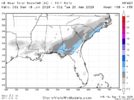
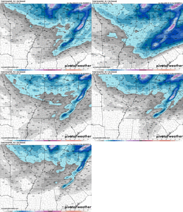
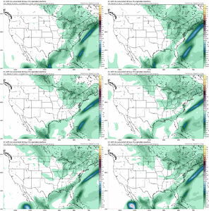
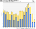
Several coastal plain hits on the EPS. one skewing it a bit, but looks like an overall increase vs 6z for the eastern folks
CNCsnwfan1210
Member
Several coastal plain hits on the EPS. one skewing it a bit, but looks like an overall increase vs 6z for the eastern folks
Curious, were there any hits for the gulf coast?
Sent from my iPhone using Tapatalk
i counted 10 or 12 that had any flakes whatsoever down there, and 6 or 7 with measurable south of i-20Curious, were there any hits for the gulf coast?
Sent from my iPhone using Tapatalk
NBAcentel
Member


