Let’s reel this one in for the western and mid areas of the south. ??
Last edited:
Maybe real is correct in this instance? Too many head fakes. We want some REAL action!*reel
Hahaha funny. Stupid autocorrect sometimes.*reel


Not even close there! (for northern AL)
Can you update your profile location? That will add some context to your posts. Setups like this is looking to favor Tennessee and parts of northern Alabama and Mississippi. Good or bad trends for those areas don’t always translate to those of us east of the mountains.Not even close there!

I am also getting the 6 inches 50 miles north of me - cold rain here vibes after today, hoping it will change.For those of us in north Alabama who remember the January’21 storm…this looks like a repeat. It snowed 3 inches in northern Madison county while east/southeast parts of the county saw a cold rain. Please not again


I mentioned a couple days ago that this could end up being a Miller B/CAD for those of us east of the mountains. That vortex in se Canada appears to be trending in the right directionI wouldn't count out a line from Norfolk/Raleigh/Charlotte/GSP to all areas north & west just yet. Need a better press though
I had 5 inches in NW Mad CoI am also getting the 6 inches 50 miles north of me - cold rain here vibes after today, hoping it will change.
For those of us in north Alabama who remember the January’21 storm…this looks like a repeat. It snowed 3 inches in northern Madison county while east/southeast parts of the county saw a cold rain. Please not again


Got jackson tn?
Got Huntsville??Got jackson tn?
Got memphis? LolGot Huntsville??

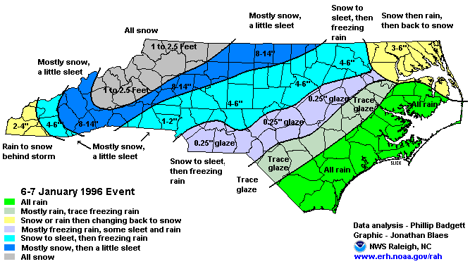
This is giving me February 1996 vibes


These really make me wonder if the EPS is catching on to something. There are some really good CAD storms on that listMost notable CIPS analogs
I’m going to need a Gulf low soon. ?This looks to be nothing but some light snow for most of the midsouth except for ares of I40. one thing that is becoming certain is there is some very cold air on the way
6/7 days out. It could trend betterThis looks to be nothing but some light snow for most of the midsouth except for ares of I40. one thing that is becoming certain is there is some very cold air on the way
.png")
.png")
.png")
.png")